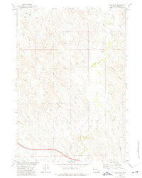
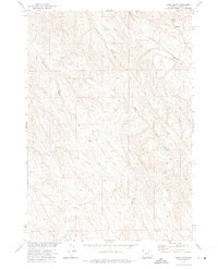
1972 Map of Pine Gulch
USGS Topo · Published 1975About this map
Crazy Woman Creek winds through this Johnson County landscape, defining the drainage patterns of a territory shaped by ranching and resource management in the early 1970s. The map illustrates a high-desert environment where water is the primary architect of the land, visible in the intricate branching of Meadow Draw, Grub Draw, and the titular Pine Gulch. Human presence is sparse and functional, centered around the Jack Payne Ranch and scattered agricultural infrastructure like a lone Corral and Well. This survey was conducted as part of the Department of the Interior program for the development of the Missouri River Basin, capturing the area just before modern satellite mapping transformed topographic record-keeping.
Find a feature on this map
11 named features on this map. Tap any name to fly to it.
Don’t see what you’re looking for? This feature index may not catch every label — zoom into the map to look around manually.
Map Details
Editions of this 1972 Pine Gulch Map
This is the sole edition of this map. No revisions or reprints were ever made.
Other maps of this area

1900 · Fort McKinney
USGS Topo · 1:125,000

1903 · Fort McKinney
USGS Topo · 1:125,000

1955 · Sheridan
USGS Topo · 1:250,000

1958 · Sheridan
USGS Topo · 1:250,000

1962 · Sheridan
USGS Topo · 1:250,000

1970 · Buffalo NE
USGS Topo · 1:24,000
1970 · Buffalo SE
USGS Topo · 1:24,000
1972 · Crazy Woman Ranch
USGS Topo · 1:24,000
1972 · Ploessers Draw
USGS Topo · 1:24,000
1972 · Bear Draw
USGS Topo · 1:24,000