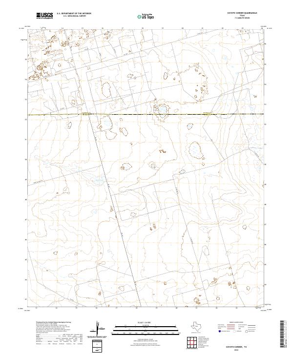
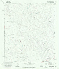
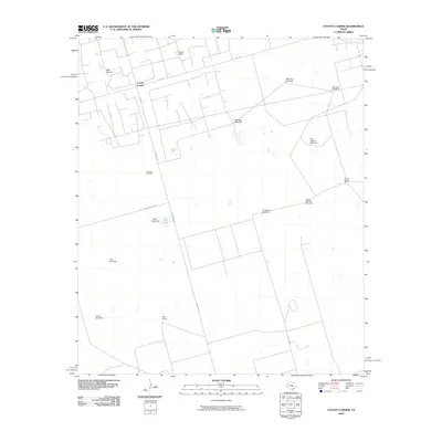
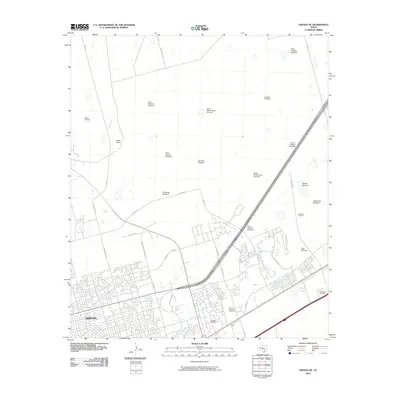
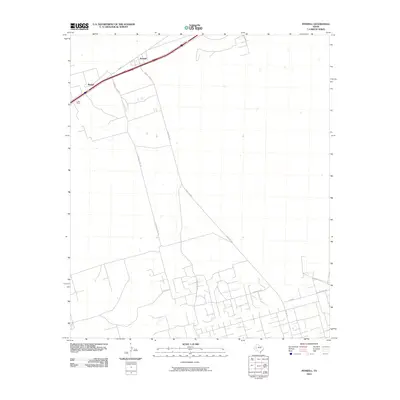
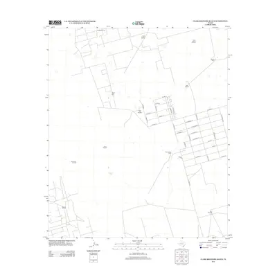
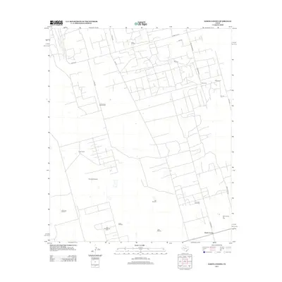
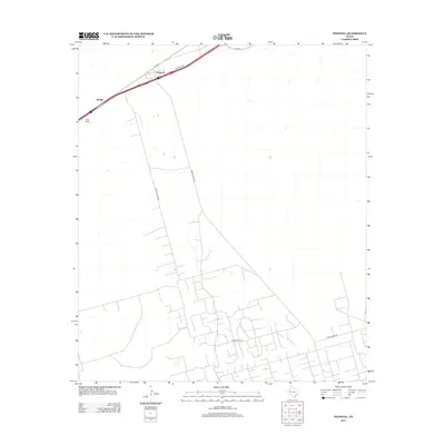
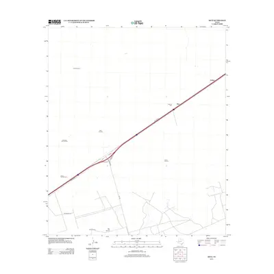
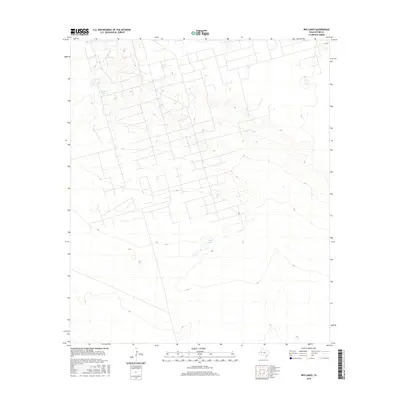
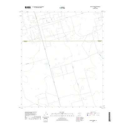
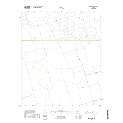
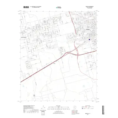
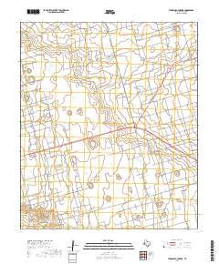
2022 Map of Coyote Corner
USGS Topo · Published 2022About this map
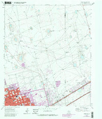
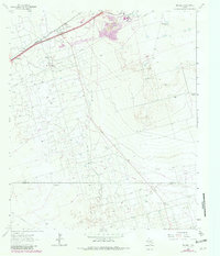
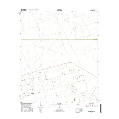
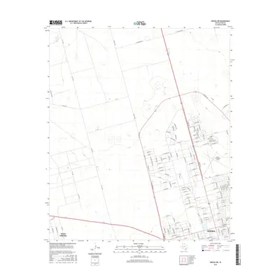
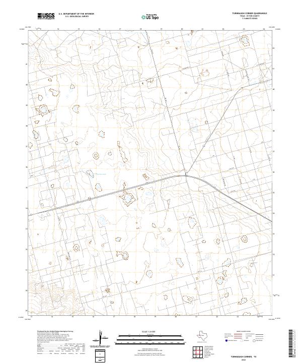
The Andrews Co Ector Co boundary bisects this West Texas landscape, marking a transition point between the cattle-ranching and oilfield geographies of the Permian Basin. A network of rural and industrial roads, including Fm 181, Sheep Pasture Rd, and Rch Rd, crisscrosses the terrain, hinting at the area's dual legacy of ranching and energy production. Centered near these transit routes is Bum Lake, a notable local landmark and one of the few named water features in this arid environment. The map provides a clear picture of the modern road grid with routes like Sw 7000 and N Station Rd providing access to remote properties across the county line.
Find a feature on this map
13 named features on this map. Tap any name to fly to it.
Don’t see what you’re looking for? This feature index may not catch every label — zoom into the map to look around manually.
Map Details
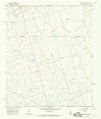
Editions of this 2022 Coyote Corner Map
This is the sole edition of this map. No revisions or reprints were ever made.
Historical Maps of JY Ranch Through Time
84 maps found
1964 Clark Brothers Ranch
Ector County, TX
1964 Douro
Ector County, TX
1964 Metz
Ector County, TX
1964 Odessa NE
Ector County, TX
1964 Odessa NW
Ector County, TX
1964 Odessa SE
Ector County, TX
1964 Odessa SW
Ector County, TX
1964 Penwell
Ector County, TX
1964 Red Lakes
Ector County, TX
1964 Turnbaugh Corner
Ector County, TX
1965 South Cowden Ranch
Ector County, TX
1967 North Cowden
Ector County, TX
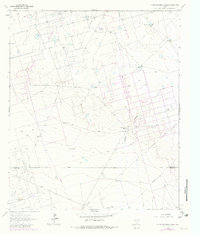
1968 Coyote Corner
Ector County, TX
1968 Hackberry Lake
Ector County, TX
2010 Clark Brothers Ranch
Ector County, TX
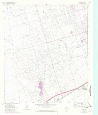
2010 Coyote Corner
Ector County, TX
2010 Douro
Ector County, TX
2010 Hackberry Lake
Ector County, TX

2010 Metz
Ector County, TX
2010 North Cowden
Ector County, TX
2010 Odessa NE
Ector County, TX
2010 Odessa NW
Ector County, TX
2010 Odessa SE
Ector County, TX
2010 Odessa SW
Ector County, TX
2010 Penwell
Ector County, TX
2010 Red Lakes
Ector County, TX
2010 South Cowden Ranch
Ector County, TX
2010 Turnbaugh Corner
Ector County, TX
2012 Clark Brothers Ranch
Ector County, TX
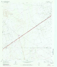
2012 Coyote Corner
Ector County, TX
2012 Douro
Ector County, TX
2012 Hackberry Lake
Ector County, TX
2012 North Cowden
Ector County, TX
2012 Odessa NE
Ector County, TX
2012 Odessa SE
Ector County, TX
2012 Odessa SW
Ector County, TX
2012 Penwell
Ector County, TX
2012 Red Lakes
Ector County, TX
2012 South Cowden Ranch
Ector County, TX
2012 Turnbaugh Corner
Ector County, TX
2013 Metz
Ector County, TX
2013 Odessa NW
Ector County, TX
2016 Clark Brothers Ranch
Ector County, TX

2016 Coyote Corner
Ector County, TX
2016 Douro
Ector County, TX
2016 Hackberry Lake
Ector County, TX
2016 Metz
Ector County, TX
2016 North Cowden
Ector County, TX
2016 Odessa NE
Ector County, TX
2016 Odessa NW
Ector County, TX
2016 Odessa SE
Ector County, TX
2016 Odessa SW
Ector County, TX
2016 Penwell
Ector County, TX
2016 Red Lakes
Ector County, TX
2016 South Cowden Ranch
Ector County, TX
2016 Turnbaugh Corner
Ector County, TX
2019 Clark Brothers Ranch
Ector County, TX
2019 Coyote Corner
Ector County, TX
2019 Douro
Ector County, TX
2019 Hackberry Lake
Ector County, TX
2019 Metz
Ector County, TX
2019 North Cowden
Ector County, TX
2019 Odessa NE
Ector County, TX
2019 Odessa NW
Ector County, TX
2019 Odessa SE
Ector County, TX
2019 Odessa SW
Ector County, TX
2019 Penwell
Ector County, TX
2019 Red Lakes
Ector County, TX
2019 South Cowden Ranch
Ector County, TX
2019 Turnbaugh Corner
Ector County, TX
2022 Clark Brothers Ranch
Ector County, TX
2022 Coyote Corner
Ector County, TX
2022 Douro
Ector County, TX
2022 Hackberry Lake
Ector County, TX
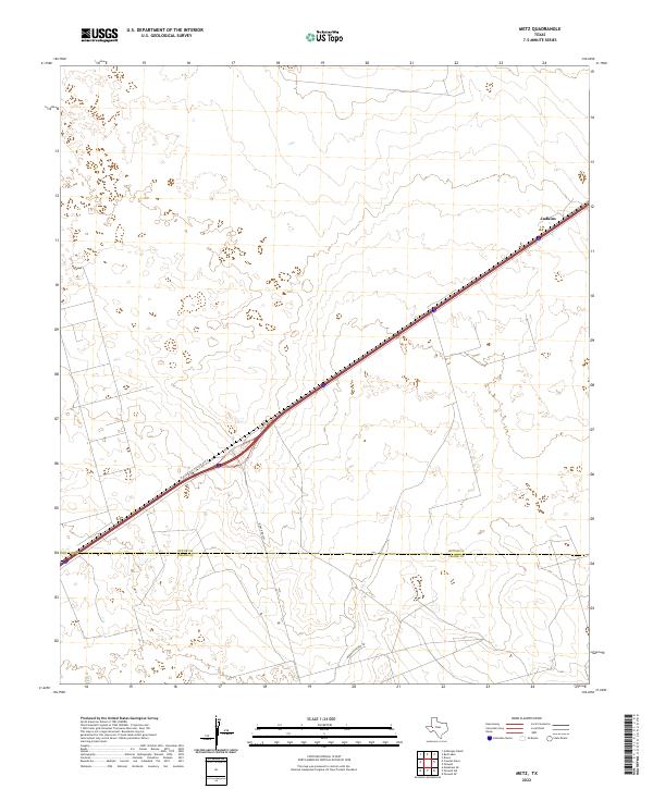
2022 Metz
Ector County, TX
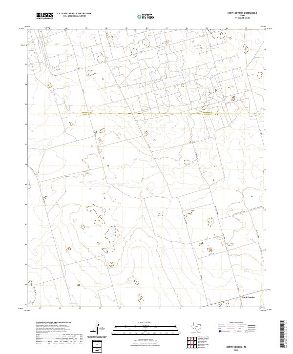
2022 North Cowden
Ector County, TX
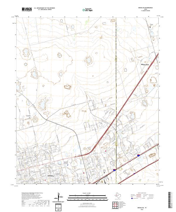
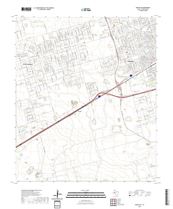
2022 Odessa NE
Ector County, TX
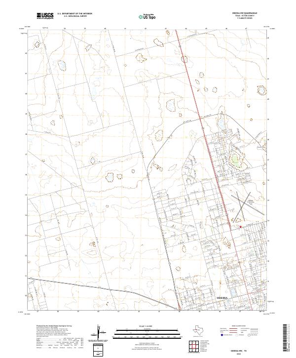
2022 Odessa NW
Ector County, TX

2022 Odessa SE
Ector County, TX
2022 Odessa SW
Ector County, TX
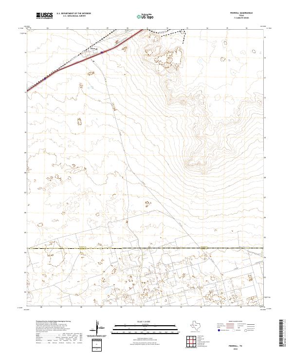
2022 Penwell
Ector County, TX
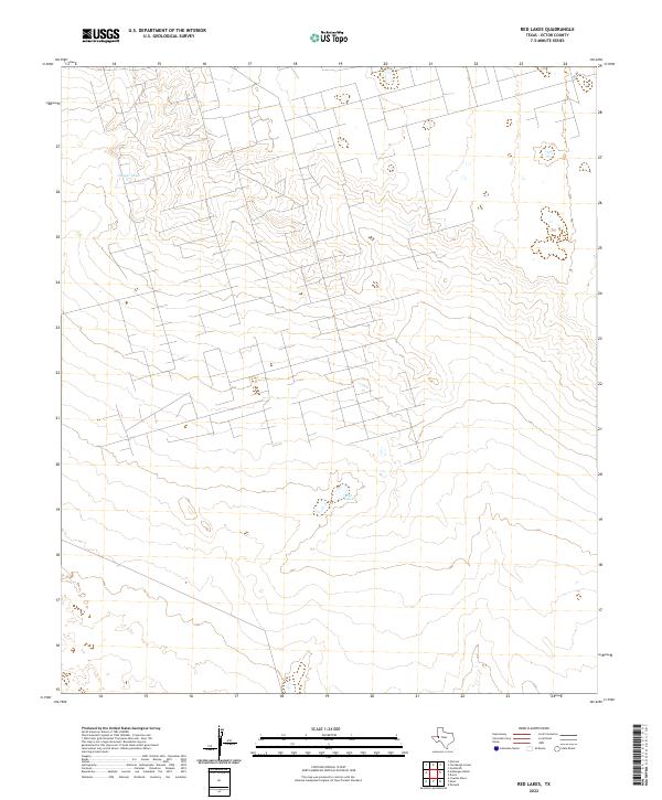
2022 Red Lakes
Ector County, TX
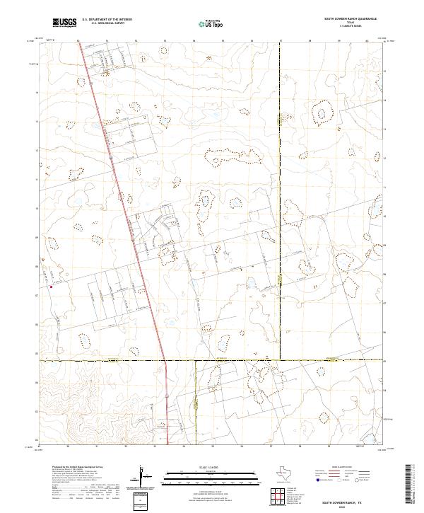
2022 South Cowden Ranch
Ector County, TX
2022 Turnbaugh Corner
Ector County, TX