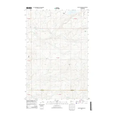
2013 Map of Coyote Mountain
USGS Topo · Published 2013About this map
The Long-Bell Mill Pond and Shingle Mill stand as primary evidence of the timber industry's footprint in this corner of Cowlitz and Lewis Counties. The terrain is defined by dramatic peaks including Coyote Mtn, Crazy Man Mtn, and Green Mtn, which overlook the drainages of Winston Cr and Devils Cr. To the north, the Swofford Valley provides a more level landscape where Swofford Pond is situated. The presence of Camp 9 and Camp 10 along the ridges suggests a history of organized logging operations that utilized the road network of Longbell Rd and Camp 9 Rd. This 2013 survey provides a clear view of the transition between the valley floors and the high ridges that separate the Green River from the northern creek systems.
Find a feature on this map
28 named features on this map. Tap any name to fly to it.
Don’t see what you’re looking for? This feature index may not catch every label — zoom into the map to look around manually.
Map Details
Editions of this 2013 Coyote Mountain Map
This is the sole edition of this map. No revisions or reprints were ever made.
Other maps of this area

1916 · Chehalis
USGS Topo · 1:125,000

1919 · Mount St Helens
USGS Topo · 1:125,000

1937 · Eatonville
USGS Topo · 1:125,000

1942 · Toutle
USGS Topo · 1:62,500

1943 · Willapa
USGS Topo · 1:62,500

1953 · Hoquiam
USGS Topo · 1:250,000

1953 · Toutle
USGS Topo · 1:62,500

1953 · Elk Rock
USGS Topo · 1:62,500

1954 · Onalaska
USGS Topo · 1:62,500

1957 · Hoquiam
USGS Topo · 1:250,000