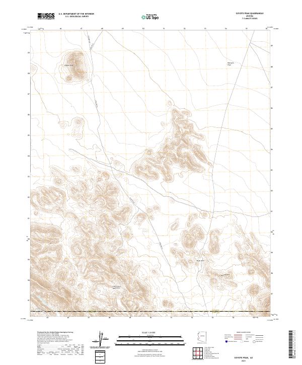
2021 Map of Coyote Peak
USGS Topo · Published 2021About this map
The Coyote Peak landscape at the border of La Paz and Yuma counties is defined by the stark transition from the Ranegras Plain into the foothills of the Little Horn Mountains. This 2021 survey illustrates the modern road network servicing this desert terrain, including Hovatter Rd and Sheep Tank-Mine Rd, which provide access to geological landmarks such as Royal Arch and Natural Arch. Seasonal drainage patterns are clearly marked by the winding path of Cementosa Wash, tracing a route through the southwestern corner of the quadrangle. The map is a precise record of current topography and administrative boundaries, including the dividing line between La Paz Co and Yuma Co, making it a valuable tool for those navigating or studying the physical geography of this part of the Arizona desert.
Find a feature on this map
15 named features on this map. Tap any name to fly to it.
Don’t see what you’re looking for? This feature index may not catch every label — zoom into the map to look around manually.
Map Details
Editions of this 2021 Coyote Peak Map
This is the sole edition of this map. No revisions or reprints were ever made.
Other maps of this area

1942 · Vicksburg
USGS Topo · 1:250,000

1954 · Phoenix
USGS Topo · 1:250,000

1957 · Phoenix
USGS Topo · 1:250,000

1958 · Phoenix
USGS Topo · 1:250,000

1960 · Phoenix
USGS Topo · 1:250,000

1961 · Hope
USGS Topo · 1:62,500

1962 · Little Horn Mts
USGS Topo · 1:62,500

1962 · Kofa Butte
USGS Topo · 1:62,500

1962 · Vicksburg
USGS Topo · 1:62,500

1969 · Phoenix
USGS Topo · 1:250,000