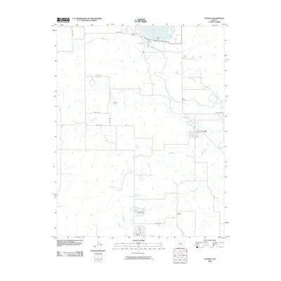
2009 Map of Coyville
USGS Topo · Published 2009About this map
Coyville anchors this landscape in eastern Kansas, situated along the winding banks of the Verdigris River. This 2009 survey shows a region defined by the convergence of several waterways, including Meadow Creek, Ross Branch, and Brush Creek, which all feed into the larger river system. To the north, the Toronto Dam controls the outflow of Toronto Lake, with Woodson Cove and Plum Creek marking the irregular shoreline. The map reveals a rural network of township roads that connect small family and community sites.
Find a feature on this map
36 named features on this map. Tap any name to fly to it.
Don’t see what you’re looking for? This feature index may not catch every label — zoom into the map to look around manually.
Map Details
Editions of this 2009 Coyville Map
This is the sole edition of this map. No revisions or reprints were ever made.
Other maps of this area

1885 · Eureka
USGS Topo · 1:125,000

1886 · Fredonia
USGS Topo · 1:125,000

1888 · Eureka
USGS Topo · 1:125,000

1894 · Fredonia
USGS Topo · 1:125,000

1894 · Eureka
USGS Topo · 1:125,000

1938 · Fredonia
USGS Topo · 1:62,500

1939 · Fredonia
USGS Topo · 1:48,000

1939 · Severy
USGS Topo · 1:62,500

1941 · Severy
USGS Topo · 1:62,500

1942 · Fredonia
USGS Topo · 1:62,500