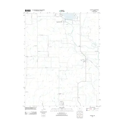
2012 Map of Coyville
USGS Topo · Published 2012About this map
The Verdigris River snakes through the eastern half of this Wilson County landscape, defining the character of the area around Coyville. This settlement is centered on a grid of streets including 1st St and 5th St, with the Coyville Cem located just to the north. The terrain is deeply etched by a network of tributaries such as Ross Br, Brush Cr, and Greathouse Cr, which flow toward the river through what was once open prairie.
Find a feature on this map
50 named features on this map. Tap any name to fly to it.
Don’t see what you’re looking for? This feature index may not catch every label — zoom into the map to look around manually.
Map Details
Editions of this 2012 Coyville Map
This is the sole edition of this map. No revisions or reprints were ever made.
Other maps of this area

1885 · Eureka
USGS Topo · 1:125,000

1886 · Fredonia
USGS Topo · 1:125,000

1888 · Eureka
USGS Topo · 1:125,000

1894 · Fredonia
USGS Topo · 1:125,000

1894 · Eureka
USGS Topo · 1:125,000

1938 · Fredonia
USGS Topo · 1:62,500

1939 · Fredonia
USGS Topo · 1:48,000

1939 · Severy
USGS Topo · 1:62,500

1941 · Severy
USGS Topo · 1:62,500

1942 · Fredonia
USGS Topo · 1:62,500