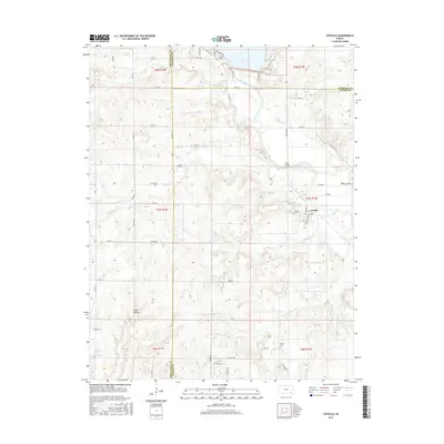
2015 Map of Coyville
USGS Topo · Published 2015About this map
Coyville sits at the heart of this Wilson County landscape, positioned where the Verdigris River winds through the eastern plains. The terrain is defined by a series of drainages, including Brush Cr, Ross Br, and Greathouse Cr, which carve through the topography toward the main river valley. To the north, the southern reaches of Toronto Lake and the inlet at Woodson Cove illustrate the managed hydrology of the region, where roads like W Spillway Rd and E Spillway Rd flank the water's edge. Family and community history is preserved across several rural burial grounds, including Coyville Cem, Hunter Cem, Caley Cem, and Carlisle Cem. The map traces a network of section-line roads and river crossings such as Marr Bridge and McVey Bridge, which once served as vital links for the agricultural homesteads scattered between Cedar Hollow and the surrounding prairies.
Find a feature on this map
65 named features on this map. Tap any name to fly to it.
Don’t see what you’re looking for? This feature index may not catch every label — zoom into the map to look around manually.
Map Details
Editions of this 2015 Coyville Map
This is the sole edition of this map. No revisions or reprints were ever made.
Other maps of this area

1885 · Eureka
USGS Topo · 1:125,000

1886 · Fredonia
USGS Topo · 1:125,000

1888 · Eureka
USGS Topo · 1:125,000

1894 · Fredonia
USGS Topo · 1:125,000

1894 · Eureka
USGS Topo · 1:125,000

1938 · Fredonia
USGS Topo · 1:62,500

1939 · Fredonia
USGS Topo · 1:48,000

1939 · Severy
USGS Topo · 1:62,500

1941 · Severy
USGS Topo · 1:62,500

1942 · Fredonia
USGS Topo · 1:62,500