
2023 Map of Craft Point
USGS Topo · Published 2023About this map
Malheur National Forest encompasses the high-elevation terrain of Harney County, characterized by a series of prominent peaks and vital water sources. The landscape is anchored by Mt Tom in the north and Thompson Mtn to the south, with the distinctive Elephant Butte and Craft Point marking the southeastern and southwestern reaches. The area is defined by its complex drainage network, where Gould Creek and Jones Creek wind through deep draws.
Find a feature on this map
37 named features on this map. Tap any name to fly to it.
Don’t see what you’re looking for? This feature index may not catch every label — zoom into the map to look around manually.
Map Details
Editions of this 2023 Craft Point Map
This is the sole edition of this map. No revisions or reprints were ever made.
Other maps of this area

1955 · Burns
USGS Topo · 1:250,000

1958 · Burns
USGS Topo · 1:250,000

1959 · Burns
USGS Topo · 1:250,000

1959 · Harney
USGS Topo · 1:62,500

1961 · Calamity Butte
USGS Topo · 1:62,500

1968 · Van
USGS Topo · 1:62,500

1973 · Buchanan
USGS Topo · 1:24,000
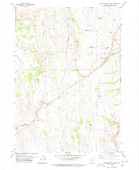
1978 · Stinkingwater Pass
USGS Topo · 1:24,000

1978 · Stinkingwater Mountains
USGS Topo · 1:100,000
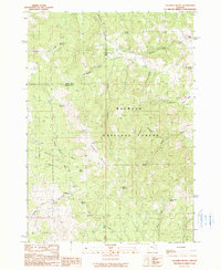
1990 · Calamity Butte
USGS Topo · 1:24,000