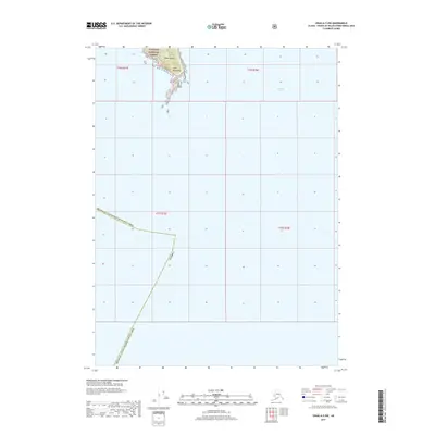
2017 Map of Craig A-5 NW
USGS Topo · Published 2017About this map
Baker Island and the jagged coastline of Cape Bartolome dominate the northern portion of this maritime survey, where the terrestrial environment is managed as part of the Tongass National Forest. The map primarily documents the open waters of the North Pacific and the approach to Bucareli Bay, a region defined by its complex shoreline and significant tidal influence within the Prince of Wales-Hyder Census Area. This topographic record provides a precise look at the uninhabited southern reaches of the Alexander Archipelago before modern developments altered the navigational landscape. The sparse labeling reflects the isolation of the island groups, focusing on the interface between the dense forest and the rocky Pacific coast.
Find a feature on this map
9 named features on this map. Tap any name to fly to it.
Don’t see what you’re looking for? This feature index may not catch every label — zoom into the map to look around manually.
Map Details
Editions of this 2017 Craig A-5 NW Map
This is the sole edition of this map. No revisions or reprints were ever made.
Other maps of this area

1948 · Craig B-5
USGS Topo · 1:63,360

1948 · Craig A-5
USGS Topo · 1:63,360

1948 · Craig B-6
USGS Topo · 1:63,360

1957 · Craig
USGS Topo · 1:250,000
2000 · Craig B-6
USGS Topo · 1:63,360

2000 · Craig B-5
USGS Topo · 1:63,360
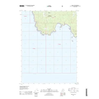
2017 · Craig A-5 NE
USGS Topo · 1:25,000
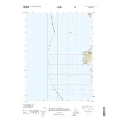
2017 · Craig B-6 SE
USGS Topo · 1:25,000
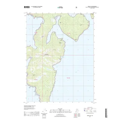
2017 · Craig B-5 SW
USGS Topo · 1:25,000
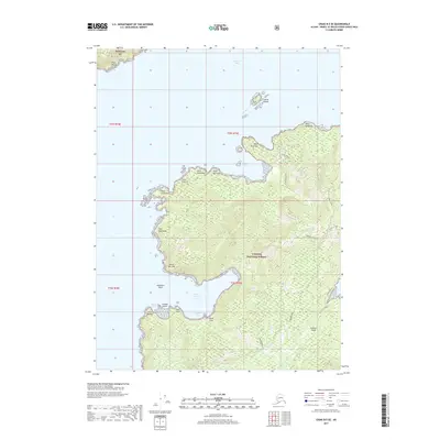
2017 · Craig B-5 SE
USGS Topo · 1:25,000