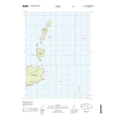
2018 Map of Craig D-7 NE
USGS Topo · Published 2018About this map
The Spanish Islands and several smaller islets emerge from the deep coastal waters in this remote maritime corner of the Tongass National Forest. The map details a complex archipelagic landscape defined by the navigational challenges of Decision Passage and the broad expanse of Sumner Strait. Land features are concentrated on the northern reaches of Prince of Wales Island, where Cora Point and Cora Island sit along the shoreline. This 2018 survey illustrates the untouched character of the Alaskan wilderness, showing no roads or permanent settlements, only the intricate topographic contours of the islands and the isolated Shrub Islet. This is a portrait of a landscape where the Pacific coastline meets the dense, protected forest of the Alexander Archipelago.
Find a feature on this map
11 named features on this map. Tap any name to fly to it.
Don’t see what you’re looking for? This feature index may not catch every label — zoom into the map to look around manually.
Map Details
Editions of this 2018 Craig D-7 NE Map
This is the sole edition of this map. No revisions or reprints were ever made.
Other maps of this area

1948 · Petersburg A-6
USGS Topo · 1:63,360

1948 · Port Alexander A-1
USGS Topo · 1:63,360
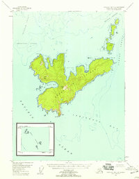
1948 · Craig D-7 and D-8
USGS Topo · 1:63,360

1951 · Craig D-6
USGS Topo · 1:63,360

1951 · Port Alexander
USGS Topo · 1:250,000

1951 · Petersburg A-6
USGS Topo · 1:63,360

1952 · Petersburg
USGS Topo · 1:250,000

1952 · Port Alexander
USGS Topo · 1:250,000

1957 · Craig
USGS Topo · 1:250,000

1960 · Petersburg
USGS Topo · 1:250,000