
1951 Map of Petersburg A-6
USGS Topo · Published 1975About this map
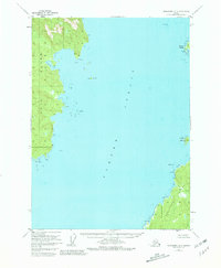
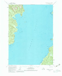
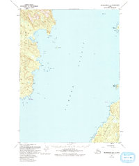
Sumner Strait dominates this 1951 survey, separating the southeastern coast of Kuiu Island from the northwestern edge of Kosciusko Island. The maritime landscape is defined by intricate shorelines and hazards mapped from aerial photography, including the Barrier Islands, Calder Rks, and the shallow waters of Louise Cove. Because the terrain is situated within the Tongass National Forest, the map focuses on the natural geography and coastal navigation markers rather than industrial development.
Find a feature on this map
30 named features on this map. Tap any name to fly to it.
Don’t see what you’re looking for? This feature index may not catch every label — zoom into the map to look around manually.
Map Details
Editions of this 1951 Petersburg A-6 Map
4 editions found
Other maps of this area

1948 · Petersburg A-6
USGS Topo · 1:63,360

1948 · Port Alexander A-1
USGS Topo · 1:63,360

1948 · Petersburg B-6
USGS Topo · 1:63,360

1948 · Port Alexander B-1
USGS Topo · 1:63,360

1949 · Petersburg B-5
USGS Topo · 1:63,360

1949 · Petersburg A-5
USGS Topo · 1:63,360

1951 · Craig D-6
USGS Topo · 1:63,360

1951 · Craig D-5
USGS Topo · 1:63,360

1951 · Port Alexander
USGS Topo · 1:250,000

1951 · Petersburg B-6
USGS Topo · 1:63,360