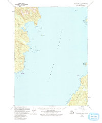
1951 Map of Petersburg A-6
USGS Topo · Published 1993About this map
Sumner Strait dominates this maritime survey, separating the eastern shores of Kuiu Island from the northwestern coastline of Kosciusko Island. The map documents a landscape within the Tongass National Forest where the primary features are defined by their relationship to the sea. Navigation and coastal geography are the focus, with prominent landmarks such as Pt Amelius and Point St Albans anchoring the western coastline. The intricate shoreline of Kosciusko Island is marked by small freshwater inflows like Trout Creek and Charley Creek. The presence of Ruins Pt and various survey resets like Albans Reset suggests a history of coastal mapping and possibly early navigation aids or temporary camps. This 1951 record, revised in the early 1990s, provides an essential look at the Alexander Archipelago's waterways before more modern digital updates.
Find a feature on this map
29 named features on this map. Tap any name to fly to it.
Don’t see what you’re looking for? This feature index may not catch every label — zoom into the map to look around manually.
Map Details
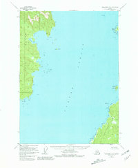
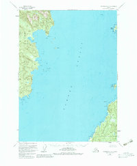
Editions of this 1951 Petersburg A-6 Map
4 editions found

Other maps of this area

1948 · Petersburg A-6
USGS Topo · 1:63,360

1948 · Port Alexander A-1
USGS Topo · 1:63,360

1948 · Petersburg B-6
USGS Topo · 1:63,360

1948 · Port Alexander B-1
USGS Topo · 1:63,360

1949 · Petersburg B-5
USGS Topo · 1:63,360

1949 · Petersburg A-5
USGS Topo · 1:63,360

1951 · Craig D-6
USGS Topo · 1:63,360

1951 · Craig D-5
USGS Topo · 1:63,360

1951 · Port Alexander
USGS Topo · 1:250,000

1951 · Petersburg B-6
USGS Topo · 1:63,360