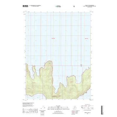
2018 Map of Craig D-7 NW
USGS Topo · Published 2018About this map
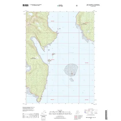
Coronation Island, situated within the protected reaches of the Tongass National Forest, dominates the southern portion of this topographic study. The island's northern coastline is deeply indented by a series of prominent maritime features, including the sheltered waters of Egg Harbor, Alikula Bay, and Aats Bay. This area of the Petersburg Borough shows a landscape defined by significant elevation changes, with peaks such as Pin Peak and Windy Peak rising sharply from the coastline. The northern half of the map is primarily maritime space, punctuated by the small Channel Island. The intricate shoreline between Aats Point and Gish Bay suggests a complex coastal environment where the Pacific meets the Tongass wilderness, with Windy Bay marking the southwestern extent of the island's survey here.
Find a feature on this map
15 named features on this map. Tap any name to fly to it.
Don’t see what you’re looking for? This feature index may not catch every label — zoom into the map to look around manually.
Map Details
Editions of this 2018 Craig D-7 NW Map
This is the sole edition of this map. No revisions or reprints were ever made.
Other maps of this area

1948 · Port Alexander A-1
USGS Topo · 1:63,360

1948 · Port Alexander A-2
USGS Topo · 1:63,360
1948 · Craig D-7 and D-8
USGS Topo · 1:63,360

1951 · Port Alexander
USGS Topo · 1:250,000
1951 · Port Alexander A-2
USGS Topo · 1:63,360

1952 · Port Alexander
USGS Topo · 1:250,000

1957 · Craig
USGS Topo · 1:250,000

1964 · Port Alexander
USGS Topo · 1:250,000
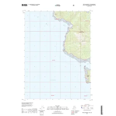
2017 · Port Alexander A-1 SW
USGS Topo · 1:25,000
2017 · Port Alexander A-1 SE
USGS Topo · 1:25,000