
1948 Map of Port Alexander A-2
USGS Topo · Published 1958About this map
Port Alexander occupies the thin coastal fringe of southern Baranof Island, marking a rare point of settlement at the confluence of Chatham Strait and the open Pacific Ocean. This 1948 aerial-based study captures the community just before the turn of the decade, showing the concentrated hub of buildings near the protected harbor entrance and the local Cem. The landscape is dominated by the wild coastline of the Tongass National Forest, which covers nearly the entire land area shown except for the designated town exclusion area.
Find a feature on this map
11 named features on this map. Tap any name to fly to it.
Don’t see what you’re looking for? This feature index may not catch every label — zoom into the map to look around manually.
Map Details
Editions of this 1948 Port Alexander A-2 Map
This is the sole edition of this map. No revisions or reprints were ever made.
Other maps of this area

1948 · Port Alexander A-1
USGS Topo · 1:63,360

1948 · Port Alexander B-1
USGS Topo · 1:63,360
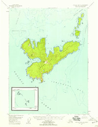
1948 · Craig D-7 and D-8
USGS Topo · 1:63,360
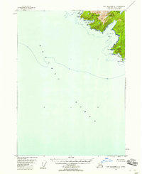
1948 · Port Alexander A-3
USGS Topo · 1:63,360

1948 · Port Alexander B-2
USGS Topo · 1:63,360

1951 · Port Alexander B-3 and B-4
USGS Topo · 1:63,360

1951 · Port Alexander
USGS Topo · 1:250,000

1951 · Port Alexander B-2
USGS Topo · 1:63,360
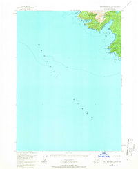
1951 · Port Alexander A-3
USGS Topo · 1:63,360
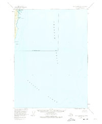
1951 · Port Alexander A-2
USGS Topo · 1:63,360