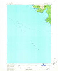
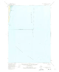
1951 Map of Port Alexander A-3
USGS Topo · Published 1965About this map
Baranof Island meets the open Pacific Ocean at the southern tip of this remote coastal survey. The coastline is defined by deep, sheltered inlets such as Larch Bay and Puffin Bay, providing a look at the maritime geography before the expansion of modern navigation aids. Located at the northern edge of the map, Port Conclusion (Battery) stands as a point of interest for those studying early maritime history and coastal defenses in the region.
Find a feature on this map
14 named features on this map. Tap any name to fly to it.
Don’t see what you’re looking for? This feature index may not catch every label — zoom into the map to look around manually.
Map Details
Editions of this 1951 Port Alexander A-3 Map
3 editions found
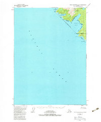
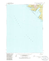
Other maps of this area

1948 · Port Alexander A-2
USGS Topo · 1:63,360
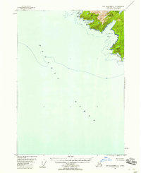
1948 · Port Alexander A-3
USGS Topo · 1:63,360

1948 · Port Alexander B-2
USGS Topo · 1:63,360

1951 · Port Alexander B-3 and B-4
USGS Topo · 1:63,360

1951 · Port Alexander
USGS Topo · 1:250,000

1951 · Port Alexander B-2
USGS Topo · 1:63,360
1951 · Port Alexander A-2
USGS Topo · 1:63,360

1952 · Port Alexander
USGS Topo · 1:250,000

1957 · Craig
USGS Topo · 1:250,000

1964 · Port Alexander
USGS Topo · 1:250,000