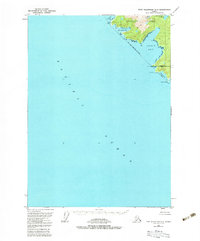
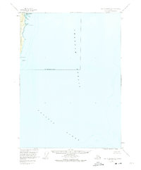
1951 Map of Port Alexander A-3
USGS Topo · Published 1983About this map
Baranof Island terminates at the southern extreme of the City and Borough of Sitka, where the land meets the Pacific Ocean at Cape Ommaney. This 1951 field-annotated survey reveals a coastline defined by deep inlets and dramatic elevations, such as Ommaney Peak rising above the surrounding waters. Historically significant maritime locations like Port Conclusion and Conclusion Creek suggest the late 18th-century explorations of Vancouver, while Puffin Bay and Larch Bay offer protected anchorages along this exposed coastline. The lack of roads or trails on the sheet emphasizes the maritime-dependent nature of travel and resource gathering in this part of the Alexander Archipelago during the mid-20th century.
Find a feature on this map
14 named features on this map. Tap any name to fly to it.
Don’t see what you’re looking for? This feature index may not catch every label — zoom into the map to look around manually.
Map Details
Editions of this 1951 Port Alexander A-3 Map
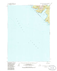
3 editions found
Other maps of this area

1948 · Port Alexander A-2
USGS Topo · 1:63,360
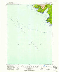
1948 · Port Alexander A-3
USGS Topo · 1:63,360

1948 · Port Alexander B-2
USGS Topo · 1:63,360

1951 · Port Alexander B-3 and B-4
USGS Topo · 1:63,360

1951 · Port Alexander
USGS Topo · 1:250,000

1951 · Port Alexander B-2
USGS Topo · 1:63,360
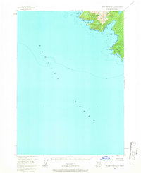
1951 · Port Alexander A-3
USGS Topo · 1:63,360
1951 · Port Alexander A-2
USGS Topo · 1:63,360

1952 · Port Alexander
USGS Topo · 1:250,000

1957 · Craig
USGS Topo · 1:250,000