
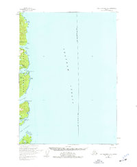
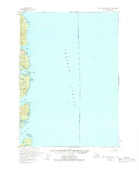
1951 Map of Port Alexander B-2
USGS Topo · Published 1965About this map
Baranof Island meets the deep waters of Chatham Strait in this mid-century survey, revealing a landscape defined by maritime industry and remote coastal outposts. The map documents the early operations of the Fisheries Research Station at Little Port Walter, a site central to the region's salmon studies. Nearby, the designation of New Port Walter (ABAND) serves as a stark marker of the area's shifting settlement patterns as people consolidated into more sustainable harbors.
Find a feature on this map
28 named features on this map. Tap any name to fly to it.
Don’t see what you’re looking for? This feature index may not catch every label — zoom into the map to look around manually.
Map Details
Editions of this 1951 Port Alexander B-2 Map
Other maps of this area

1948 · Port Alexander C-1
USGS Topo · 1:63,360

1948 · Port Alexander A-1
USGS Topo · 1:63,360

1948 · Port Alexander B-1
USGS Topo · 1:63,360

1948 · Port Alexander A-2
USGS Topo · 1:63,360
1948 · Port Alexander A-3
USGS Topo · 1:63,360

1948 · Port Alexander B-2
USGS Topo · 1:63,360

1951 · Port Alexander C-2
USGS Topo · 1:63,360

1951 · Port Alexander B-3 and B-4
USGS Topo · 1:63,360

1951 · Port Alexander C-3
USGS Topo · 1:63,360

1951 · Port Alexander
USGS Topo · 1:250,000