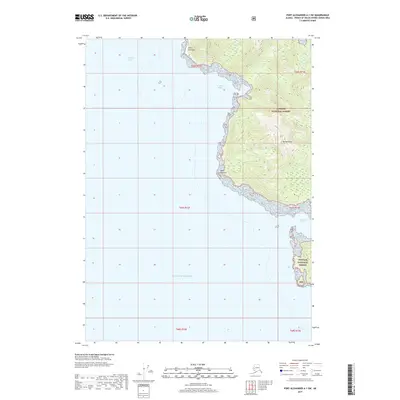
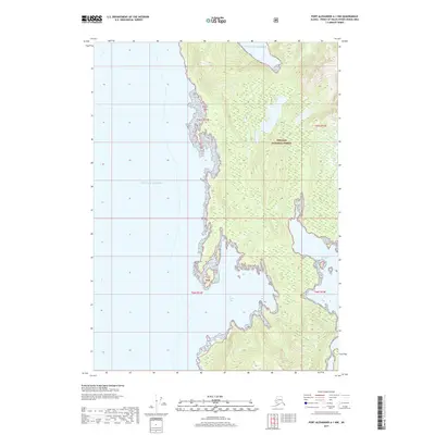
2017 Map of Port Alexander A-1 SW
USGS Topo · Published 2017About this map
Chatham Strait meets the open ocean at the southeastern edge of Kuiu Island, marking a rugged coastal boundary within the Tongass National Forest. The landscape is dominated by the steep ascent of Mt McArthur, which rises sharply from the Pacific waters. Coastal indentations such as Crowley Bight and Howard Cove provide the only breaks in the rocky shoreline between the prominent landmarks of Point Crowley and Point Howard. This maritime corridor serves as a critical transition between the protected inner waterways of the Alexander Archipelago and the vast Gulf of Alaska. The map illustrates the wilderness character of the region, where topographic contours reveal a terrain largely untouched by modern infrastructure, defined instead by its natural harbors and high coastal peaks.
Find a feature on this map
15 named features on this map. Tap any name to fly to it.
Don’t see what you’re looking for? This feature index may not catch every label — zoom into the map to look around manually.
Map Details
Editions of this 2017 Port Alexander A-1 SW Map
This is the sole edition of this map. No revisions or reprints were ever made.
Other maps of this area

1948 · Port Alexander A-1
USGS Topo · 1:63,360

1948 · Port Alexander A-2
USGS Topo · 1:63,360
1948 · Craig D-7 and D-8
USGS Topo · 1:63,360

1951 · Port Alexander
USGS Topo · 1:250,000
1951 · Port Alexander A-2
USGS Topo · 1:63,360

1952 · Port Alexander
USGS Topo · 1:250,000

1957 · Craig
USGS Topo · 1:250,000

1964 · Port Alexander
USGS Topo · 1:250,000
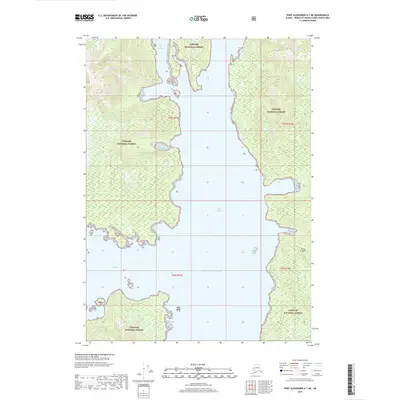
2017 · Port Alexander A-1 NE
USGS Topo · 1:25,000
2017 · Port Alexander A-1 NW
USGS Topo · 1:25,000