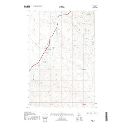
2020 Map of Craig
USGS Topo · Published 2020About this map
Missouri River water rights and transportation corridors dominate this portion of the canyon, where the settlement of Craig serves as a central hub for the surrounding landscape. The town site is situated between Brewer Hill and the river banks, featuring the Craig Cem and a critical crossing at the Wegner Creek Bridge. A complex network of frontage and canyon roads, such as Craig Frontage Rd and Eagle Canyon Dr, follows the river's winding course, while Tunnel Number 3 indicates the significant engineering required to move through this terrain. To the south, the Missouri River Ranch Airport provides an essential link for the more isolated ranching properties. The geography is defined by deep drainages including Stickney Cr, Wegner Cr, and Bray Gulch, which carve through the high ground marked by landmarks like Eagle Rock.
Find a feature on this map
46 named features on this map. Tap any name to fly to it.
Don’t see what you’re looking for? This feature index may not catch every label — zoom into the map to look around manually.
Map Details
Editions of this 2020 Craig Map
This is the sole edition of this map. No revisions or reprints were ever made.
Other maps of this area

1886 · Great Falls
USGS Topo · 1:250,000

1886 · Fort Logan
USGS Topo · 1:250,000

1889 · Helena
USGS Topo · 1:250,000

1893 · Helena
USGS Topo · 1:250,000

1899 · Helena
USGS Topo · 1:250,000

1903 · Helena
USGS Topo · 1:250,000

1943 · Hogan
USGS Topo · 1:125,000

1947 · Butte
USGS Topo · 1:250,000

1948 · White Sulphur Springs
USGS Topo · 1:250,000

1954 · Great Falls
USGS Topo · 1:250,000