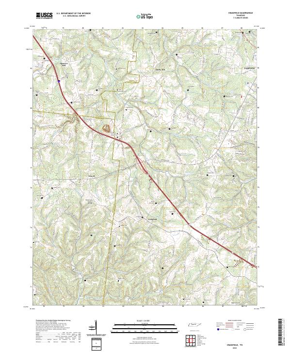
2022 Map of Craigfield
USGS Topo · Published 2022About this map
The Tennessee Valley Divide snakes through this rural landscape west of Fairview, marking the watershed between the Cumberland and Tennessee River basins. At the center of the sheet, Craigfield and Tidwell anchor a network of country roads and family cemeteries that define the local genealogy, including the Jack Lampley Cem and Tomlinson Cem. The terrain is deeply dissected by drainages like Big Turnbull Creek and the Barren Fork, where narrow hollows such as Mangrum Hollow provided the setting for early farmsteads.
Find a feature on this map
169 named features on this map. Tap any name to fly to it.
Don’t see what you’re looking for? This feature index may not catch every label — zoom into the map to look around manually.
Map Details
Editions of this 2022 Craigfield Map
This is the sole edition of this map. No revisions or reprints were ever made.
Other maps of this area

1901 · Colombia
USGS Topo · 1:125,000

1930 · White Bluff
USGS Topo · 1:62,500

1933 · White Bluff
USGS Topo · 1:62,500

1936 · Primm
USGS Topo · 1:24,000

1936 · Littlelot
USGS Topo · 1:24,000

1936 · Theta
USGS Topo · 1:24,000

1936 · Burns
USGS Topo · 1:24,000

1936 · Craigfield
USGS Topo · 1:24,000

1936 · Lyles
USGS Topo · 1:24,000
1951 · Theta
USGS Topo · 1:24,000