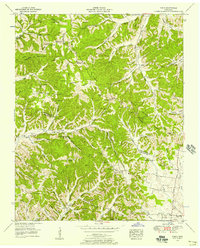
1951 Map of Theta
USGS Topo · Published 1957About this map
The Williamson Co Maury Co border cuts through this landscape of deep hollows and high ridges during the early 1950s. The historic Natchez Trace winds through the hills, while the Duck River defines the southern topography. Small communities such as Theta and Boston serve as local anchors, connected by a network of rural roads and the path of a dismantled railroad that once navigated the terrain.
Find a feature on this map
61 named features on this map. Tap any name to fly to it.
Don’t see what you’re looking for? This feature index may not catch every label — zoom into the map to look around manually.
Map Details
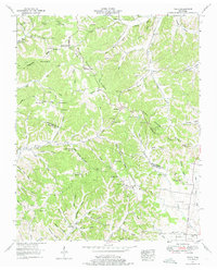
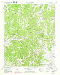
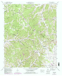
Editions of this 1951 Theta Map
4 editions found
Other maps of this area

1901 · Colombia
USGS Topo · 1:125,000

1909 · Franklin
USGS Topo · 1:62,500

1936 · Godwin
USGS Topo · 1:24,000

1936 · Williamsport
USGS Topo · 1:24,000

1936 · Primm
USGS Topo · 1:24,000

1936 · Spring Hill
USGS Topo · 1:24,000

1936 · Theta
USGS Topo · 1:24,000

1936 · Carters Creek
USGS Topo · 1:24,000

1936 · Craigfield
USGS Topo · 1:24,000

1940 · Godwin
USGS Topo · 1:24,000