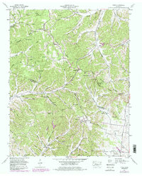
1951 Map of Theta
USGS Topo · Published 1984About this map
Natchez Trace Parkway winds through the hills of the Tennessee Divide, marking a landscape defined by deep hollows and high ridges at the mid-century border of Williamson and Maury Counties. The area's rural character is evident in the dense network of family-named landmarks and small community centers like Theta and Boston. Genealogists will find a wealth of burial sites, from Carlisle Cem and Andrews Cem to Blackman Cem, alongside scattered houses of worship such as Taylor Chapel and Chestnut Ridge Church. The terrain is characterized by steep drainage systems like Skelly Hollow and Pennywinkle Hollow, which flow toward the Duck River. At Bending Chestnut, the Bending Chestnut Lookout Tower stands as a focal point for the region, overlooking the complex topography of the Duck River Ridge.
Find a feature on this map
70 named features on this map. Tap any name to fly to it.
Don’t see what you’re looking for? This feature index may not catch every label — zoom into the map to look around manually.
Map Details
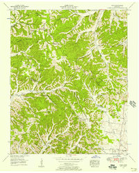
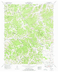
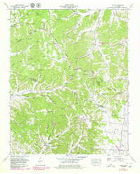
Editions of this 1951 Theta Map
4 editions found
Other maps of this area

1901 · Colombia
USGS Topo · 1:125,000

1909 · Franklin
USGS Topo · 1:62,500

1936 · Godwin
USGS Topo · 1:24,000

1936 · Williamsport
USGS Topo · 1:24,000

1936 · Primm
USGS Topo · 1:24,000

1936 · Spring Hill
USGS Topo · 1:24,000

1936 · Theta
USGS Topo · 1:24,000

1936 · Carters Creek
USGS Topo · 1:24,000

1936 · Craigfield
USGS Topo · 1:24,000

1940 · Godwin
USGS Topo · 1:24,000