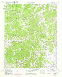
1951 Map of Theta
USGS Topo · Published 1980About this map
Chestnut Ridge and the Natchez Trace Ridge dominate the landscape of this region along the Williamson and Maury County line. Originally surveyed in 1951, the map captures a rural Tennessee topography defined by narrow creek valleys like Peckerwood Hollow Creek and high ridges that historically channeled travel along the Natchez Trace. Small settlements and family clusters are scattered throughout, anchored by country churches such as Taylor Chapel and Garrison Church.
Find a feature on this map
93 named features on this map. Tap any name to fly to it.
Don’t see what you’re looking for? This feature index may not catch every label — zoom into the map to look around manually.
Map Details
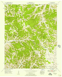
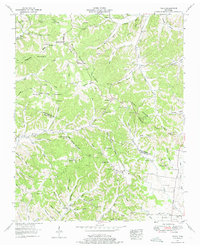
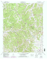
Editions of this 1951 Theta Map
4 editions found
Other maps of this area

1901 · Colombia
USGS Topo · 1:125,000

1909 · Franklin
USGS Topo · 1:62,500

1936 · Godwin
USGS Topo · 1:24,000

1936 · Williamsport
USGS Topo · 1:24,000

1936 · Primm
USGS Topo · 1:24,000

1936 · Spring Hill
USGS Topo · 1:24,000

1936 · Theta
USGS Topo · 1:24,000

1936 · Carters Creek
USGS Topo · 1:24,000

1936 · Craigfield
USGS Topo · 1:24,000

1940 · Godwin
USGS Topo · 1:24,000