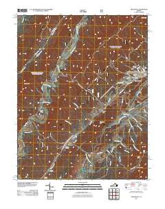
2011 Map of Craigsville
USGS Topo · Published 2011About this map
The Calfpasture River carves a path through the heart of this Appalachian landscape, where narrow valleys and gaps dictate the layout of community and commerce. The town of Craigsville serves as a primary hub, centered around the Craigsville Post Office and Craigsville Memorial Cemetery. The terrain is defined by a series of named hollows and drafts, such as Staples Hollow and Ramsey Draft, which reveal the deep-seated local nomenclature tied to family names and natural features.
Find a feature on this map
49 named features on this map. Tap any name to fly to it.
Don’t see what you’re looking for? This feature index may not catch every label — zoom into the map to look around manually.
Map Details
Editions of this 2011 Craigsville Map
This is the sole edition of this map. No revisions or reprints were ever made.
Other maps of this area

1894 · Staunton
USGS Topo · 1:125,000

1894 · Natural Bridge
USGS Topo · 1:125,000

1894 · Lexington
USGS Topo · 1:125,000

1901 · Monterey
USGS Topo · 1:125,000

1932 · Lexington
USGS Topo · 1:48,000

1937 · Lexington
USGS Topo · 1:62,500

1943 · Craigsville
USGS Topo · 1:62,500

1945 · Craigsville
USGS Topo · 1:62,500

1946 · Millboro
USGS Topo · 1:62,500

1946 · Williamsville
USGS Topo · 1:62,500