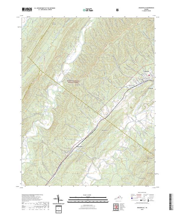
2022 Map of Craigsville
USGS Topo · Published 2022About this map
The Calfpasture River and Little Calfpasture River carve through the mountains of western Virginia, anchoring a landscape where small settlements like Craigsville and Fordwick sit at the edge of the George Washington National Forest. This 2022 survey captures the modern road network, from the residential streets of Central Ave and E Craig St to the winding corridors of Estaline Valley Rd. High ridges such as Great North Mtn and Walker Mountain dominate the terrain, separated by numerous drafts and hollows like Ramsey Draft and Staples Hollow. Cultural landmarks include the Craigsville Memorial Cemetery and the descriptive McCutchen School Lane, while the rail history is suggested by Railroad Ave. The boundary between Bath and Augusta counties traverses these heights, marking a region defined by its narrow valleys and prominent peaks.
Find a feature on this map
86 named features on this map. Tap any name to fly to it.
Don’t see what you’re looking for? This feature index may not catch every label — zoom into the map to look around manually.
Map Details
Editions of this 2022 Craigsville Map
This is the sole edition of this map. No revisions or reprints were ever made.
Other maps of this area

1894 · Staunton
USGS Topo · 1:125,000

1894 · Natural Bridge
USGS Topo · 1:125,000

1894 · Lexington
USGS Topo · 1:125,000

1901 · Monterey
USGS Topo · 1:125,000

1932 · Lexington
USGS Topo · 1:48,000

1937 · Lexington
USGS Topo · 1:62,500

1943 · Craigsville
USGS Topo · 1:62,500

1945 · Craigsville
USGS Topo · 1:62,500

1946 · Millboro
USGS Topo · 1:62,500

1946 · Williamsville
USGS Topo · 1:62,500