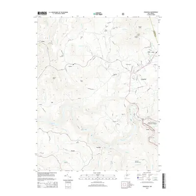
2014 Map of Craigsville
USGS Topo · Published 2014About this map
The Gauley River carves a deep path through the southern portion of this landscape, serving as a focal point for the settlements of Marybill, Donald, and Curtin. To the east, the Monongahela National Forest boundary marks a transition into more heavily wooded terrain where Coal Siding indicates the region's industrial ties. In the north, the community of Craigsville is a central hub, supported by the Herold Airport and nearby Cottle. Local family history is preserved in numerous small burial grounds, such as Lambert Cem, Mullens Cem, and the Little Union Cem located near Calvin. Higher elevations are punctuated by distinctive landmarks like Strouds Knobs and the Cottle Knob Lookout Tower, providing vantage points over the intricate network of runs and forks, including Big Beaver Cr and Island Creek, that feed the river system.
Find a feature on this map
113 named features on this map. Tap any name to fly to it.
Don’t see what you’re looking for? This feature index may not catch every label — zoom into the map to look around manually.
Map Details
Editions of this 2014 Craigsville Map
This is the sole edition of this map. No revisions or reprints were ever made.
Other maps of this area

1889 · Nicholas
USGS Topo · 1:125,000

1891 · Nicholas
USGS Topo · 1:125,000

1901 · Nicholas
USGS Topo · 1:125,000

1913 · Summersville
USGS Topo · 1:48,000

1914 · Winona
USGS Topo · 1:48,000

1915 · Cowen
USGS Topo · 1:48,000
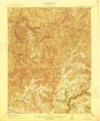
1915 · Summersville
USGS Topo · 1:62,500

1916 · Winona
USGS Topo · 1:62,500

1917 · Cowen
USGS Topo · 1:62,500

1918 · Richwood
USGS Topo · 1:62,500