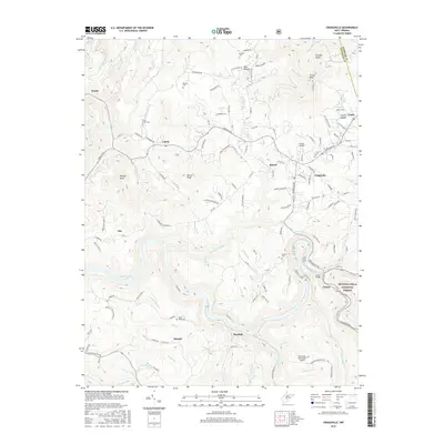
2016 Map of Craigsville
USGS Topo · Published 2016About this map
The Gauley River carves a deep valley through the southern half of this Nicholas County landscape, creating a dramatic physical divide between the settlements of Marybill and Curtin. To the north, the community of Craigsville serves as a central hub, surrounded by smaller locales such as Beaver, Calvin, and Nile. This region is defined by a dense network of mountain hollows and ridges, including Strouds Knobs and Cottle Knob, where traditional mountain roads like Webster Rd and Robinwood Rd connect scattered family landmarks.
Find a feature on this map
133 named features on this map. Tap any name to fly to it.
Don’t see what you’re looking for? This feature index may not catch every label — zoom into the map to look around manually.
Map Details
Editions of this 2016 Craigsville Map
This is the sole edition of this map. No revisions or reprints were ever made.
Other maps of this area

1889 · Nicholas
USGS Topo · 1:125,000

1891 · Nicholas
USGS Topo · 1:125,000

1901 · Nicholas
USGS Topo · 1:125,000

1913 · Summersville
USGS Topo · 1:48,000

1914 · Winona
USGS Topo · 1:48,000

1915 · Cowen
USGS Topo · 1:48,000
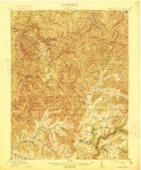
1915 · Summersville
USGS Topo · 1:62,500

1916 · Winona
USGS Topo · 1:62,500

1917 · Cowen
USGS Topo · 1:62,500

1918 · Richwood
USGS Topo · 1:62,500