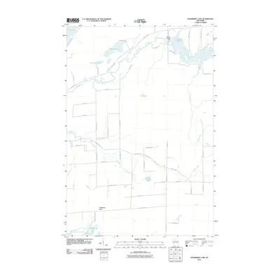
2010 Map of Cranberry Lake
USGS Topo · Published 2010About this map
The Elk River and Little Elk River define the hydraulic landscape of Price County in this 2010 survey, winding through a network of glacial lakes and wetlands. The northeast corner is dominated by Musser Lake 83, a significant water body created by the Musser 2WP235 Dam. This region is characterized by its complex hydrology, where smaller streams like Cramer Creek and Hoffman Creek feed into the larger river systems.
Find a feature on this map
54 named features on this map. Tap any name to fly to it.
Don’t see what you’re looking for? This feature index may not catch every label — zoom into the map to look around manually.
Map Details
Editions of this 2010 Cranberry Lake Map
This is the sole edition of this map. No revisions or reprints were ever made.
Other maps of this area

1941 · Park Falls
USGS Topo · 1:48,000

1941 · Pike Lake
USGS Topo · 1:48,000

1941 · Phillips
USGS Topo · 1:48,000

1941 · Brantwood
USGS Topo · 1:48,000

1942 · Pike Lake
USGS Topo · 1:48,000

1943 · Park Falls
USGS Topo · 1:48,000

1943 · Philliips
USGS Topo · 1:48,000

1943 · Brantwood
USGS Topo · 1:48,000

1947 · Park Falls
USGS Topo · 1:48,000

1950 · Pike Lake
USGS Topo · 1:48,000