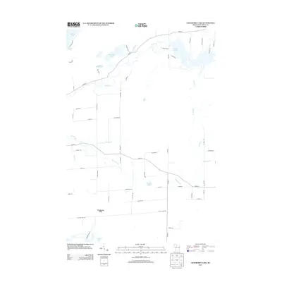
2013 Map of Cranberry Lake
USGS Topo · Published 2013About this map
Elk River and the Little Elk River define the watery landscape of Price County in this 2013 survey. The area is characterized by a series of significant lakes, including Musser Lake to the northeast and Big Dardis Lake to the northwest. Local transportation centers on a network of county highways and named rural roads such as Co HWY-D and Co HWY-H, which provide access to the various shorelines. The namesake Cranberry Lake is located in the southwestern portion of the map, illustrating the region's characteristic wetland and lake-heavy geography. Genealogists and local historians can use the specific road names, such as N Worcester Rd and Dardis Lake Ln, to pinpoint family properties and historical land use in this part of Wisconsin.
Find a feature on this map
57 named features on this map. Tap any name to fly to it.
Don’t see what you’re looking for? This feature index may not catch every label — zoom into the map to look around manually.
Map Details
Editions of this 2013 Cranberry Lake Map
This is the sole edition of this map. No revisions or reprints were ever made.
Other maps of this area

1941 · Park Falls
USGS Topo · 1:48,000

1941 · Pike Lake
USGS Topo · 1:48,000

1941 · Phillips
USGS Topo · 1:48,000

1941 · Brantwood
USGS Topo · 1:48,000

1942 · Pike Lake
USGS Topo · 1:48,000

1943 · Park Falls
USGS Topo · 1:48,000

1943 · Philliips
USGS Topo · 1:48,000

1943 · Brantwood
USGS Topo · 1:48,000

1947 · Park Falls
USGS Topo · 1:48,000

1950 · Pike Lake
USGS Topo · 1:48,000