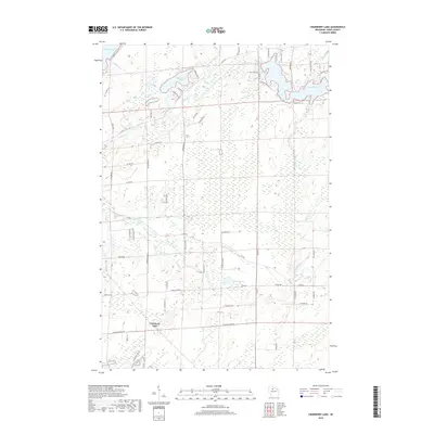
2018 Map of Cranberry Lake
USGS Topo · Published 2018About this map
Big Dardis Lake and Little Dardis Lake dominate the northern glacial landscape of this Price County terrain. The Elk River winds through the central portion of the map, fed by numerous tributaries including Hoffman Cr and Cromer Cr. The area is defined by its extensive wetlands and water bodies, ranging from the isolated Lost Lake to the more developed shores of Musser Lake in the northeast corner.
Find a feature on this map
64 named features on this map. Tap any name to fly to it.
Don’t see what you’re looking for? This feature index may not catch every label — zoom into the map to look around manually.
Map Details
Editions of this 2018 Cranberry Lake Map
This is the sole edition of this map. No revisions or reprints were ever made.
Other maps of this area

1941 · Park Falls
USGS Topo · 1:48,000

1941 · Pike Lake
USGS Topo · 1:48,000

1941 · Phillips
USGS Topo · 1:48,000

1941 · Brantwood
USGS Topo · 1:48,000

1942 · Pike Lake
USGS Topo · 1:48,000

1943 · Park Falls
USGS Topo · 1:48,000

1943 · Philliips
USGS Topo · 1:48,000

1943 · Brantwood
USGS Topo · 1:48,000

1947 · Park Falls
USGS Topo · 1:48,000

1950 · Pike Lake
USGS Topo · 1:48,000