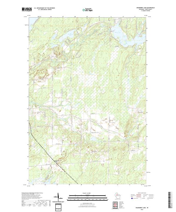
2022 Map of Cranberry Lake
USGS Topo · Published 2022About this map
Musser Lake and Big Dardis Lake anchor the northern reaches of this Price County landscape, where the Elk River winds through a dense network of tributaries and wetlands. The settlement of Cranberry Lake sits to the south, surrounded by a complex grid of logging roads and local lanes such as Little Chicago Rd and Bare Acres Ln. This survey captures the region's character as a timber and water-rich environment, with numerous smaller bodies like Priest Lake and Murphy Lake tucked between the drainages of Popple Cr and Cramer Cr. The map detail highlights the intricate shoreline of the larger lakes and the winding course of the Little Elk River, reflecting the glacial hydrology and modern rural development of northern Wisconsin in the early 21st century.
Find a feature on this map
70 named features on this map. Tap any name to fly to it.
Don’t see what you’re looking for? This feature index may not catch every label — zoom into the map to look around manually.
Map Details
Editions of this 2022 Cranberry Lake Map
This is the sole edition of this map. No revisions or reprints were ever made.
Other maps of this area

1941 · Park Falls
USGS Topo · 1:48,000

1941 · Pike Lake
USGS Topo · 1:48,000

1941 · Phillips
USGS Topo · 1:48,000

1941 · Brantwood
USGS Topo · 1:48,000

1942 · Pike Lake
USGS Topo · 1:48,000

1943 · Park Falls
USGS Topo · 1:48,000

1943 · Philliips
USGS Topo · 1:48,000

1943 · Brantwood
USGS Topo · 1:48,000

1947 · Park Falls
USGS Topo · 1:48,000

1950 · Pike Lake
USGS Topo · 1:48,000