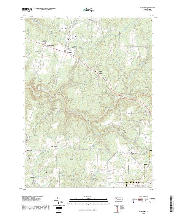
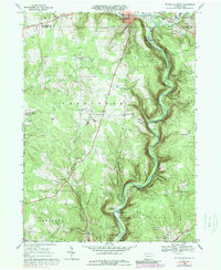
2023 Map of Cranberry
USGS Topo · Published 2023About this map
Venango County's rolling upland terrain is defined by the deep incisions of East Sandy Creek and its many tributaries, creating a landscape where settlements follow the higher ridges and plateaus. Small communities like Cranberry, Van, and Nickleville serve as local anchors, connected by a network of rural roads that skirt the steep ravines. The area's spiritual and community history is etched into the land through numerous small burial grounds and churches, such as the Faith Baptist School of Theology and the Mount Zion Cem near Twin Oaks.
Find a feature on this map
109 named features on this map. Tap any name to fly to it.
Don’t see what you’re looking for? This feature index may not catch every label — zoom into the map to look around manually.
Map Details
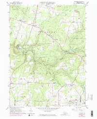
Editions of this 2023 Cranberry Map
This is the sole edition of this map. No revisions or reprints were ever made.
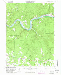
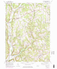
Historical Maps of Van Through Time
8 maps found
Featured Locations
- Ashland Township, PA
- Cranberry Township, PA
- Richland Township, PA
- Rockland Township, PA
- Van, Cranberry Township