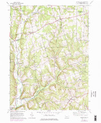
1967 Map of Dempseytown
USGS Topo · Published 1976About this map
Dempseytown and the surrounding rural townships of Plum and Oakland define this corner of Venango County in the mid-1960s. The landscape is characterized by a high concentration of small oil wells and drill holes, reflecting the region's enduring petroleum heritage. The survey documents several rural crossroads including Sunville, Bradleytown, and Diamond, which served as local anchors for the farming and resource-extraction community. Social life is centered around local institutions like Trinity Ch, Mt Carmel Ch, and the Township Sch located near the southern edge of the sheet.
Find a feature on this map
40 named features on this map. Tap any name to fly to it.
Don’t see what you’re looking for? This feature index may not catch every label — zoom into the map to look around manually.
Map Details
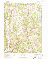
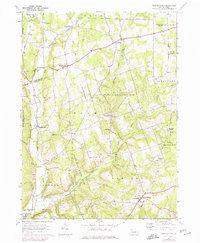
Editions of this 1967 Dempseytown Map
3 editions found
Other maps of this area

1909 · Franklin
USGS Topo · 1:62,500

1911 · Franklin
USGS Topo · 1:62,500

1922 · Oil City
USGS Topo · 1:48,000

1924 · Oil City
USGS Topo · 1:62,500

1927 · Townville
USGS Topo · 1:48,000

1927 · Titusville
USGS Topo · 1:62,500

1932 · Townville
USGS Topo · 1:62,500

1933 · Titusville
USGS Topo · 1:62,500

1943 · Oil City
USGS Topo · 1:62,500

1945 · Townville
USGS Topo · 1:62,500
Featured Places
- Cherrytree Township, PA
- Plum Township, PA
- Oakland Township, PA
- Randolph Township, PA
- Sunville, Plum Township