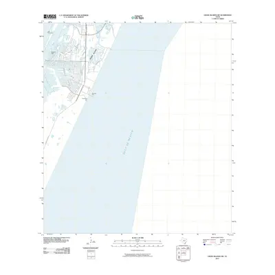
2010 Map of Crane Islands SW
USGS Topo · Published 2010About this map
Padre Island dominates this coastal survey, showing the residential and navigational development along the barrier island's eastern shore. The map details the developed grid between S Padre Island Dr and the beach, where the Bob Hall Pier extends into the Gulf of Mexico. Navigational markers like Light Twentyone and Range A Light indicate the critical importance of maritime safety in these shifting waters. Inland from the Gulf, the elevation rises slightly at Fourmile Hill, providing a rare point of relief on the otherwise low-lying coastal terrain. This 2010 edition records the footprint of coastal infrastructure including Punta Espada Loop and Palmira Ave before subsequent decades of coastal change.
Find a feature on this map
13 named features on this map. Tap any name to fly to it.
Don’t see what you’re looking for? This feature index may not catch every label — zoom into the map to look around manually.
Map Details
Editions of this 2010 Crane Islands SW Map
This is the sole edition of this map. No revisions or reprints were ever made.
Other maps of this area

1925 · Oso Creek
USGS Topo · 1:62,500

1950 · Corpus Christi
USGS Topo · 1:250,000

1951 · South Bird Island
USGS Topo · 1:24,000

1951 · Crane Islands NW
USGS Topo · 1:24,000

1951 · Oso Creek NE
USGS Topo · 1:24,000

1951 · Crane Islands SW
USGS Topo · 1:24,000

1951 · Oso Creek
USGS Topo · 1:62,500

1951 · Crane Islands
USGS Topo · 1:62,500

1951 · South Bird Island
USGS Topo · 1:62,500

1956 · Corpus Christi
USGS Topo · 1:250,000