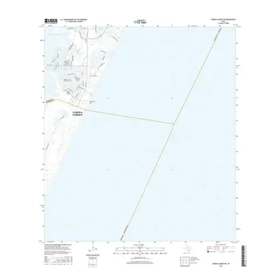
2016 Map of Crane Islands SW
USGS Topo · Published 2016About this map
Padre Island serves as the focal point for this coastal survey, where the expanding urban reach of Corpus Christi meets the barrier island environment. The geography is defined by the Intracoastal Waterway and the Packery Channel, which separates the northern developed areas from the more open terrain to the south. A dense residential street network, featuring names like Whitecap Blvd and Playa Del Rey, illustrates the mid-20th-century development boom on the island. The map also captures the inland boundary transitions, marking the line between Nueces and Kleberg counties as it cuts across the dunes and tidal flats near Fourmile Hill. This record provides a clear view of the modern infrastructure, specifically the vital corridor of Park Rd 22, during a period of significant coastal habitation.
Find a feature on this map
46 named features on this map. Tap any name to fly to it.
Don’t see what you’re looking for? This feature index may not catch every label — zoom into the map to look around manually.
Map Details
Editions of this 2016 Crane Islands SW Map
This is the sole edition of this map. No revisions or reprints were ever made.
Other maps of this area

1925 · Oso Creek
USGS Topo · 1:62,500

1950 · Corpus Christi
USGS Topo · 1:250,000

1951 · South Bird Island
USGS Topo · 1:24,000

1951 · Crane Islands NW
USGS Topo · 1:24,000

1951 · Oso Creek NE
USGS Topo · 1:24,000

1951 · Crane Islands SW
USGS Topo · 1:24,000

1951 · Oso Creek
USGS Topo · 1:62,500

1951 · Crane Islands
USGS Topo · 1:62,500

1951 · South Bird Island
USGS Topo · 1:62,500

1956 · Corpus Christi
USGS Topo · 1:250,000