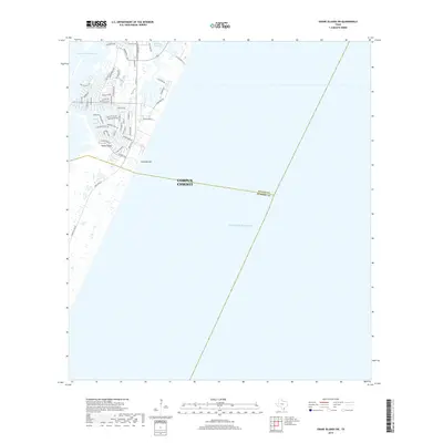
2019 Map of Crane Islands SW
USGS Topo · Published 2019About this map
Padre Island serves as the focal point for this coastal survey, where modern residential development meets the barrier island’s shoreline. The northern section of the map reveals a dense network of canal-front streets and drives, including Whitechapel Blvd and Fortuna Bay Dr, designed to maximize waterfront access. This suburban expansion within Corpus Christi is bounded to the north by the Packery Channel and the Intracoastal Waterway, critical maritime arteries for the region. To the south, the landscape transitions into the open terrain of Fourmile Hill, while a prominent county line marks the boundary between Nueces County and Kleberg County. Much of the map's area is dedicated to the open waters of the Gulf of Mexico, illustrating the delicate balance between high-density coastal living and the vast marine environment.
Find a feature on this map
51 named features on this map. Tap any name to fly to it.
Don’t see what you’re looking for? This feature index may not catch every label — zoom into the map to look around manually.
Map Details
Editions of this 2019 Crane Islands SW Map
This is the sole edition of this map. No revisions or reprints were ever made.
Other maps of this area

1925 · Oso Creek
USGS Topo · 1:62,500

1950 · Corpus Christi
USGS Topo · 1:250,000

1951 · South Bird Island
USGS Topo · 1:24,000

1951 · Crane Islands NW
USGS Topo · 1:24,000

1951 · Oso Creek NE
USGS Topo · 1:24,000

1951 · Crane Islands SW
USGS Topo · 1:24,000

1951 · Oso Creek
USGS Topo · 1:62,500

1951 · Crane Islands
USGS Topo · 1:62,500

1951 · South Bird Island
USGS Topo · 1:62,500

1956 · Corpus Christi
USGS Topo · 1:250,000