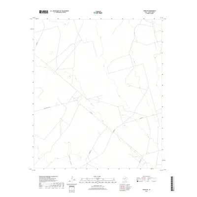
2019 Map of Crane SW
USGS Topo · Published 2019About this map
Landreth Draw carves a subtle path through the open landscapes of Crane County, marking a rare drainage feature in this arid Permian Basin environment. This 2019 survey captures the modern industrial and ranching infrastructure of the region, where a network of thoroughfares such as S Cowden Rd and S Exxon Rd service the local economy. The naming of Horsehead Rd reflects the deep history of West Texas travel, likely referencing the historic Horsehead Crossing of the Pecos River located to the southwest. This map provides a clear view of the spatial relationships between remote roads like Juan Cardona Lake Rd and the surrounding terrain, which remains largely characterized by sparse vegetation and low-relief topography.
Find a feature on this map
6 named features on this map. Tap any name to fly to it.
Don’t see what you’re looking for? This feature index may not catch every label — zoom into the map to look around manually.
Map Details
Editions of this 2019 Crane SW Map
This is the sole edition of this map. No revisions or reprints were ever made.
Other maps of this area

1928 · Crane
USGS Topo · 1:125,000

1954 · Pecos
USGS Topo · 1:250,000

1957 · Pecos
USGS Topo · 1:250,000
1972 · Buena Vista NE
USGS Topo · 1:24,000

1972 · Girvin NE
USGS Topo · 1:24,000
1972 · Girvin NW
USGS Topo · 1:24,000

1974 · Tubbs Corner
USGS Topo · 1:24,000

1974 · Crane SW
USGS Topo · 1:24,000
1974 · Crane
USGS Topo · 1:24,000

1974 · Juan Cordona Lake
USGS Topo · 1:24,000