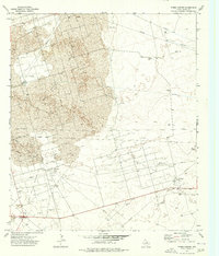
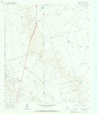
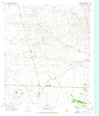
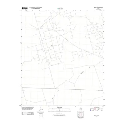
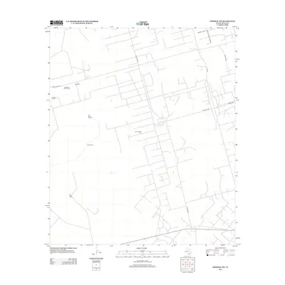
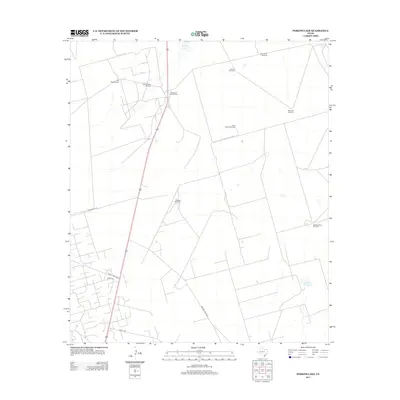
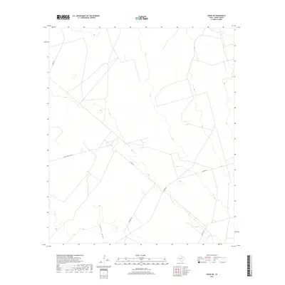
1974 Map of Tubbs Corner
USGS Topo · Published 1976About this map
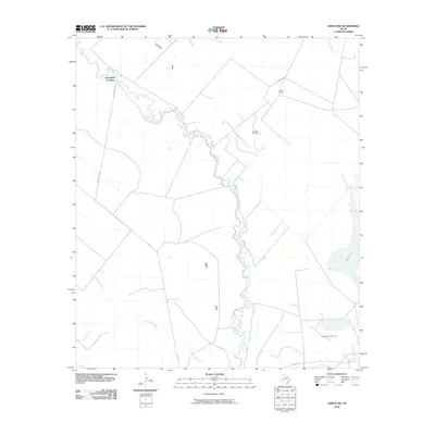
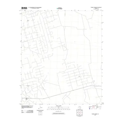
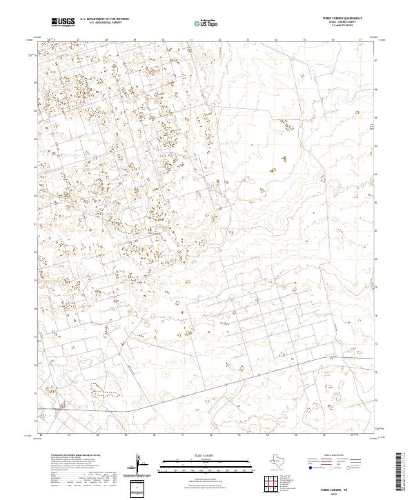
Shifting Sand Hills Oil Field and the Lea Oil Field dominate this mid-1970s landscape in Crane County, Texas. This area is a high-intensity industrial zone of the Permian Basin, defined by a dense network of infrastructure including a Gas Plant, a Pumping Sta, and a Substa. The presence of numerous Pipelines and an Aqueduct underscores the complex logistics required for extraction in this arid environment. Amidst the heavy industry, isolated outposts like Lea Ranch and the small junction at Tubbs Corner provide rare human anchor points. The map also documents functional aviation and resource sites, such as the Landing Strips and multiple Gravel Pits, illustrating the pragmatic, resource-driven settlement patterns of the Texas Panhandle during this era of energy production.
Find a feature on this map
13 named features on this map. Tap any name to fly to it.
Don’t see what you’re looking for? This feature index may not catch every label — zoom into the map to look around manually.
Map Details
Editions of this 1974 Tubbs Corner Map
This is the sole edition of this map. No revisions or reprints were ever made.
Historical Maps of Tubbs Corner Through Time
72 maps found
1964 Doodle Bug Well
Crane County, TX
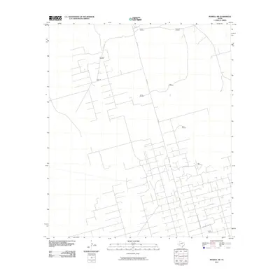
1964 Penwell SE
Crane County, TX
1964 Penwell SW
Crane County, TX
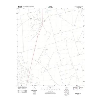
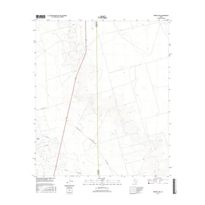
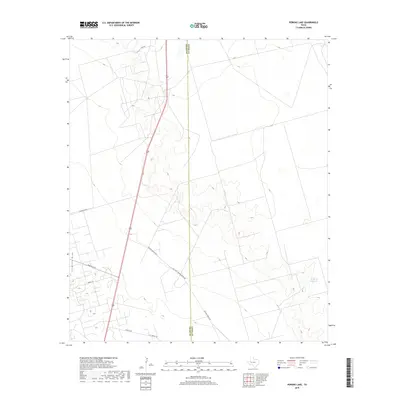
1964 Perkins Lake
Crane County, TX
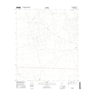
1972 Girvin NE
Crane County, TX
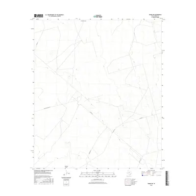
1972 Girvin NW
Crane County, TX
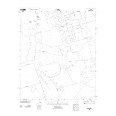
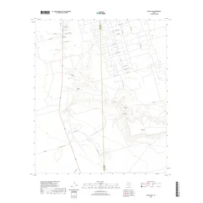
1974 Castle Gap
Crane County, TX
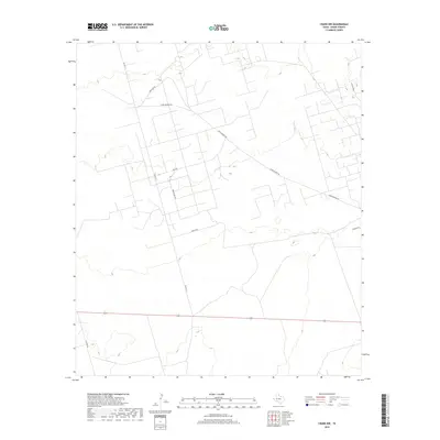
1974 Crane NW
Crane County, TX
1974 Crane SW
Crane County, TX
1974 Imperial NW
Crane County, TX
1974 Juan Cordona Lake
Crane County, TX
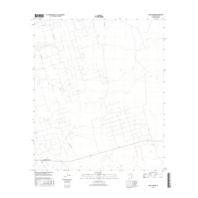
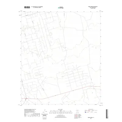
1974 Tubbs Corner
Crane County, TX

2010 Castle Gap
Crane County, TX
2010 Crane NW
Crane County, TX
2010 Crane SW
Crane County, TX
2010 Doodle Bug Well
Crane County, TX
2010 Girvin NE
Crane County, TX
2010 Girvin NW
Crane County, TX
2010 Imperial NW
Crane County, TX
2010 Juan Cordona Lake
Crane County, TX
2010 Penwell SE
Crane County, TX
2010 Penwell SW
Crane County, TX
2010 Perkins Lake
Crane County, TX
2010 Tubbs Corner
Crane County, TX
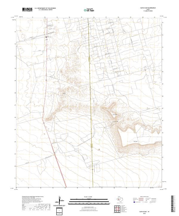
2012 Castle Gap
Crane County, TX
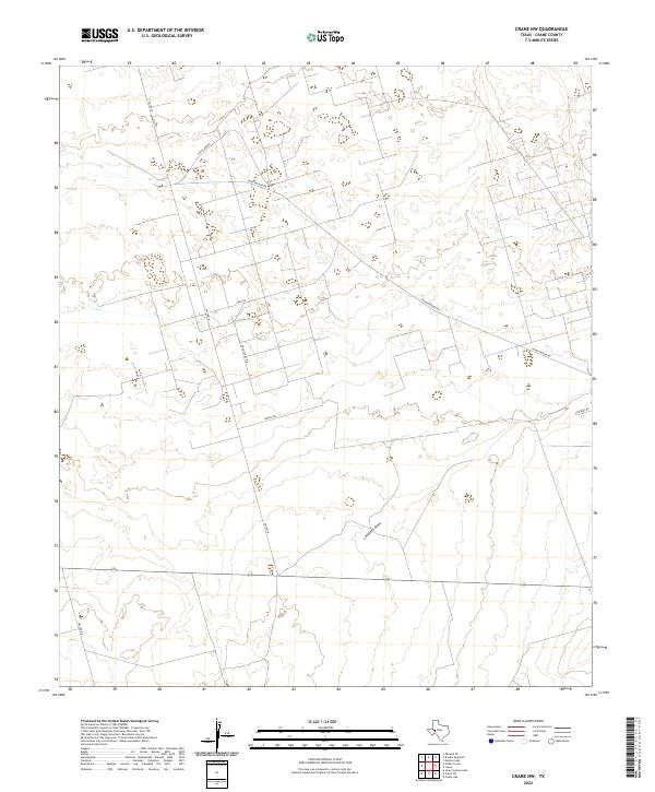
2012 Crane NW
Crane County, TX
2012 Crane SW
Crane County, TX
2012 Girvin NE
Crane County, TX
2012 Girvin NW
Crane County, TX
2012 Imperial NW
Crane County, TX
2012 Juan Cordona Lake
Crane County, TX
2012 Penwell SE
Crane County, TX
2012 Penwell SW
Crane County, TX
2012 Perkins Lake
Crane County, TX
2012 Tubbs Corner
Crane County, TX
2013 Doodle Bug Well
Crane County, TX
2016 Castle Gap
Crane County, TX
2016 Crane NW
Crane County, TX
2016 Crane SW
Crane County, TX

2016 Doodle Bug Well
Crane County, TX
2016 Girvin NE
Crane County, TX
2016 Girvin NW
Crane County, TX
2016 Imperial NW
Crane County, TX
2016 Juan Cordona Lake
Crane County, TX
2016 Penwell SE
Crane County, TX
2016 Penwell SW
Crane County, TX
2016 Perkins Lake
Crane County, TX
2016 Tubbs Corner
Crane County, TX
2019 Castle Gap
Crane County, TX
2019 Crane NW
Crane County, TX
2019 Crane SW
Crane County, TX
2019 Doodle Bug Well
Crane County, TX
2019 Girvin NE
Crane County, TX
2019 Girvin NW
Crane County, TX
2019 Imperial NW
Crane County, TX
2019 Juan Cordona Lake
Crane County, TX
2019 Penwell SE
Crane County, TX
2019 Penwell SW
Crane County, TX
2019 Perkins Lake
Crane County, TX
2019 Tubbs Corner
Crane County, TX
2022 Castle Gap
Crane County, TX
2022 Crane NW
Crane County, TX
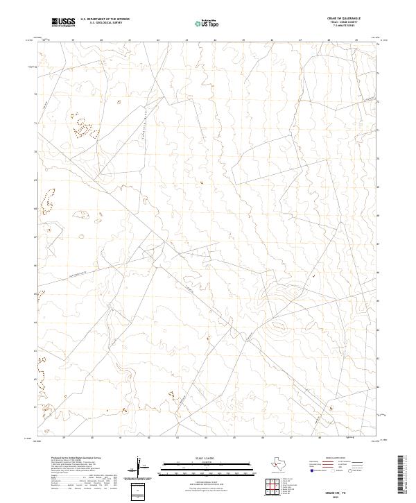
2022 Crane SW
Crane County, TX
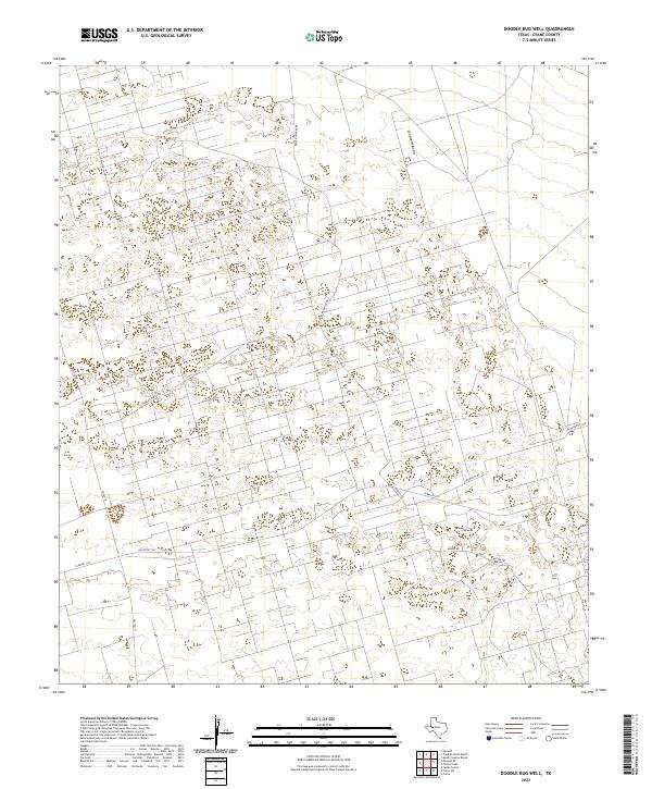
2022 Doodle Bug Well
Crane County, TX
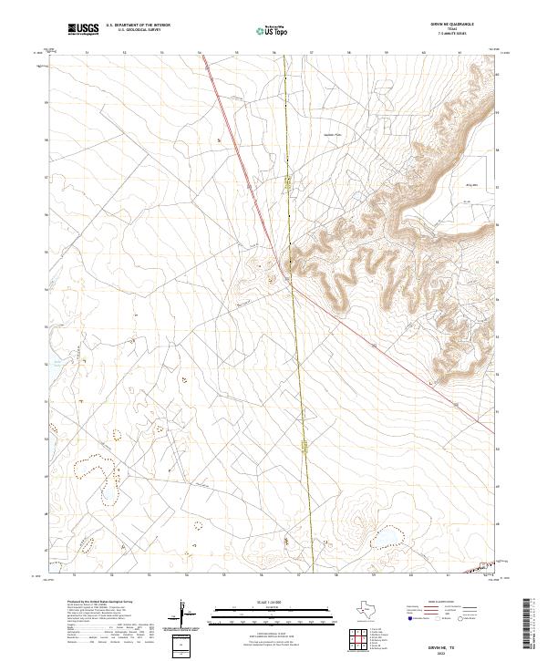
2022 Girvin NE
Crane County, TX
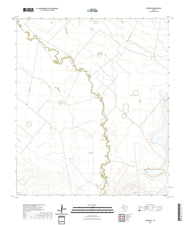
2022 Girvin NW
Crane County, TX
2022 Imperial NW
Crane County, TX
2022 Juan Cordona Lake
Crane County, TX
2022 Penwell SE
Crane County, TX
2022 Penwell SW
Crane County, TX
2022 Perkins Lake
Crane County, TX
2022 Tubbs Corner
Crane County, TX