
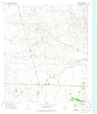
1964 Map of Penwell SE
USGS Topo · Published 1967About this map
The Bar Oil Field dominates this West Texas landscape, revealing the intensive mid-century petroleum infrastructure of Crane County. A complex network of pipelines, pumping stations, and family-named wells like Cummins Well and South Henderson Well are etched across the terrain. This industrial activity exists alongside the natural topography of the Sand Hills, where the shifting ground meets the rigid lines of energy production.
Find a feature on this map
26 named features on this map. Tap any name to fly to it.
Don’t see what you’re looking for? This feature index may not catch every label — zoom into the map to look around manually.
Map Details
Editions of this 1964 Penwell SE Map
This is the sole edition of this map. No revisions or reprints were ever made.
Other maps of this area

1928 · Crane
USGS Topo · 1:125,000

1954 · Pecos
USGS Topo · 1:250,000

1957 · Pecos
USGS Topo · 1:250,000

1964 · Metz
USGS Topo · 1:24,000

1964 · Doodle Bug Well
USGS Topo · 1:24,000

1964 · Penwell SW
USGS Topo · 1:24,000

1964 · Penwell
USGS Topo · 1:24,000

1964 · Clark Brothers Ranch
USGS Topo · 1:24,000

1974 · Tubbs Corner
USGS Topo · 1:24,000
1974 · Crane NW
USGS Topo · 1:24,000