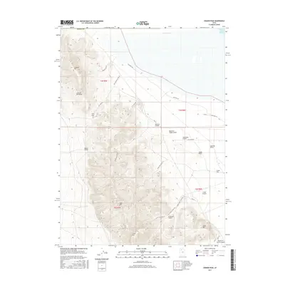
2017 Map of Craner Peak
USGS Topo · Published 2017About this map
Jedediah Mtn and the Lakeside Mountains dominate this arid landscape along the western margin of the Great Salt Lake. This high-altitude desert terrain is defined by dramatic topographic relief, where steep peaks like Black Mtn and Craner Peak overlook the expansive Lakeside Valley and Craner Flat. The map documents a complex network of backcountry routes, including Lakeshore Way, Lacustrine Way, and the winding Almost Vindicator Rd, which navigate the deep drainages of Vindicator Canyon and Monarch Canyon.
Find a feature on this map
35 named features on this map. Tap any name to fly to it.
Don’t see what you’re looking for? This feature index may not catch every label — zoom into the map to look around manually.
Map Details
Editions of this 2017 Craner Peak Map
This is the sole edition of this map. No revisions or reprints were ever made.
Other maps of this area

1885 · Tooele Valley
USGS Topo · 1:250,000

1953 · Tooele
USGS Topo · 1:250,000

1954 · Brigham City
USGS Topo · 1:250,000

1955 · Tooele
USGS Topo · 1:250,000

1958 · Brigham City
USGS Topo · 1:250,000

1962 · Brigham City
USGS Topo · 1:250,000

1968 · Carrington Island SW
USGS Topo · 1:24,000

1968 · Poverty Point
USGS Topo · 1:24,000

1968 · Deardens Knoll
USGS Topo · 1:24,000

1968 · Badger Island NW
USGS Topo · 1:24,000