
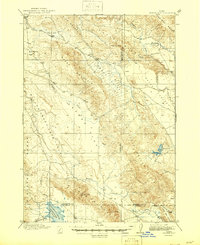
1917 Map of Cranes Flat
USGS Topo · Published 1917About this map
Sheep Mountain dominates this Idaho landscape, acting as a natural divider between the high, broad basins of Cranes Flat and Long Valley. Surveyed between 1913 and 1915, the map documents a transitional era for the region's water resources, most notably the presence of the Blackfoot River Reservoir at its southern edge and a smaller Reservoir tucked into the southeastern hills.
Find a feature on this map
24 named features on this map. Tap any name to fly to it.
Don’t see what you’re looking for? This feature index may not catch every label — zoom into the map to look around manually.
Map Details
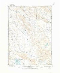
Editions of this 1917 Cranes Flat Map
3 editions found
Other maps of this area

1914 · Henry
USGS Topo · 1:48,000

1915 · Lanes Creek
USGS Topo · 1:62,500

1916 · Henry
USGS Topo · 1:62,500

1917 · Portneuf
USGS Topo · 1:62,500

1918 · Paradise Valley
USGS Topo · 1:62,500

1924 · Hell Creek
USGS Topo · 1:62,500

1924 · Ammon
USGS Topo · 1:62,500

1926 · Hell Creek
USGS Topo · 1:62,500

1932 · Irwin
USGS Topo · 1:96,000

1935 · Irwin
USGS Topo · 1:125,000