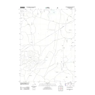
2012 Map of Crank Mountain
USGS Topo · Published 2012About this map
Crank Mountain rises as the central landmark in this high-altitude landscape within Modoc County, where volcanic features and timber management dominate the terrain. The presence of Loveness Logging Rd and a complex network of forest routes, such as Sand Flat Rd and Webb Cir W, indicates an active history of logging operations. Scattered water sources like Happy Camp Spring and Hess Spring provide critical points of interest across the drier flats.
Find a feature on this map
42 named features on this map. Tap any name to fly to it.
Don’t see what you’re looking for? This feature index may not catch every label — zoom into the map to look around manually.
Map Details
Editions of this 2012 Crank Mountain Map
This is the sole edition of this map. No revisions or reprints were ever made.
Other maps of this area

1886 · Modoc Lava Bed
USGS Topo · 1:250,000

1892 · Modoc Lava-Bed
USGS Topo · 1:250,000

1952 · Timber Mountain
USGS Topo · 1:62,500

1952 · Hackamore
USGS Topo · 1:62,500

1954 · Alturas
USGS Topo · 1:250,000

1958 · Alturas
USGS Topo · 1:250,000

1962 · Alturas
USGS Topo · 1:250,000

1962 · Crank Mountain
USGS Topo · 1:62,500

1962 · White Horse
USGS Topo · 1:62,500

1965 · Alturas
USGS Topo · 1:250,000