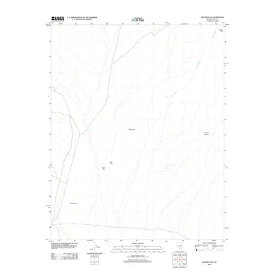
2012 Map of Crater Flat
USGS Topo · Published 2012About this map
Crater Flat dominates this desert landscape in Nye County, characterized by a series of volcanic features and drainage patterns. The area is defined by distinct cinder cones, including the prominent Black Cone near the center of the sheet and Red Cone further south. These landmarks, along with the Little Cones at the southwestern edge, reveal the volcanic history that shaped this portion of the Great Basin. The drainage system of Windy Wash cuts across the eastern side of the quadrangle, flowing past Hooked Ridge and the edge of the Calico Hills. This map provides a detailed view of the arid terrain before modern encroachment, showing a landscape primarily shaped by geological forces and ephemeral watercourses.
Find a feature on this map
7 named features on this map. Tap any name to fly to it.
Don’t see what you’re looking for? This feature index may not catch every label — zoom into the map to look around manually.
Map Details
Editions of this 2012 Crater Flat Map
This is the sole edition of this map. No revisions or reprints were ever made.
Other maps of this area

1908 · Furnace Creek
USGS Topo · 1:250,000

1910 · Furnace Creek
USGS Topo · 1:250,000

1942 · Skull Mountain
USGS Topo · 1:125,000

1942 · Bullfrog
USGS Topo · 1:125,000

1948 · Death Valley
USGS Topo · 1:250,000

1952 · Topopah Spring
USGS Topo · 1:62,500

1952 · Big Dune
USGS Topo · 1:62,500

1954 · Bare Mtn
USGS Topo · 1:62,500

1954 · Death Valley
USGS Topo · 1:250,000

1956 · Death Valley
USGS Topo · 1:250,000