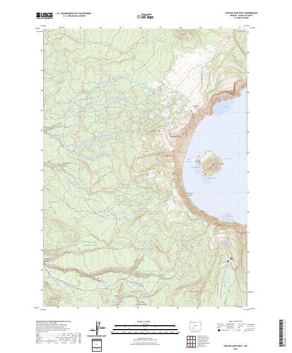
2023 Map of Crater Lake West
USGS Topo · Published 2023About this map
Wizard Island and the distinctive Witches Cauldron form the center of this western section of Crater Lake National Park. The map documents the dramatic geological features along the Rim of the Crater, including the volcanic formations of Williams Crater and the prominent Hillman Peak. This 2023 edition illustrates the modern infrastructure serving the park, such as the winding West-Rim Drive and the access provided by the North Entrance Road and Crater Lake Highway.
Find a feature on this map
55 named features on this map. Tap any name to fly to it.
Don’t see what you’re looking for? This feature index may not catch every label — zoom into the map to look around manually.
Map Details
Editions of this 2023 Crater Lake West Map
This is the sole edition of this map. No revisions or reprints were ever made.
Other maps of this area

1891 · Ashland
USGS Topo · 1:250,000

1893 · Ashland
USGS Topo · 1:250,000

1897 · Ashland
USGS Topo · 1:250,000

1917 · Diamond Lake
USGS Topo · 1:125,000

1955 · Medford
USGS Topo · 1:250,000

1956 · Diamond Lake
USGS Topo · 1:62,500

1956 · Garwood Butte
USGS Topo · 1:62,500

1956 · Prospect
USGS Topo · 1:62,500

1957 · Medford
USGS Topo · 1:250,000

1958 · Medford
USGS Topo · 1:250,000