2001 Map of Crawford
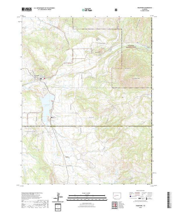
USGS Topo · Published 2004About this map
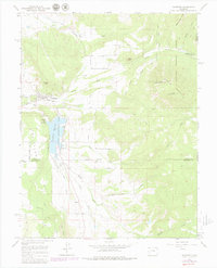
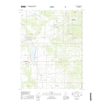
Crawford serves as a central hub on this landscape, positioned north of the expansive Crawford Reservoir. The town's surrounding agricultural and ranching character is evidenced by an intricate network of irrigation systems including the Clipper Ditch, Grand View Canal, and Highline Ditch. To the east, the terrain rises sharply toward the Gunnison National Forest, marked by the prominent peaks of Saddle Mountain and the distinct volcanic form of Needle Rock. South of the reservoir, the small settlement of Maher sits near the head of Iron Canyon on Fruitland Mesa. The map traces the varied drainage patterns of the Smith Fork and its tributaries, reflecting a land defined by its water management and the transition from the irrigated Missouri Flats to the steep boundaries of the Black Canyon.
Find a feature on this map
36 named features on this map. Tap any name to fly to it.
Don’t see what you’re looking for? This feature index may not catch every label — zoom into the map to look around manually.
Map Details
Editions of this 2001 Crawford Map
2 editions found
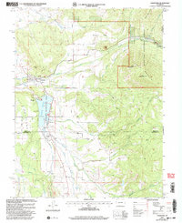
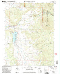
Historical Maps of Crawford Through Time
7 maps found