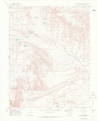
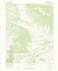
1967 Map of Creager Reservoir
USGS Topo · Published 1971About this map
San Isabel National Forest dominates the high-elevation landscape of this Huerfano County survey, where a complex network of man-made water storage and irrigation infrastructure serves the high desert terrain. The area is characterized by several small impoundments including Creager Reservoir, McKinley Reservoir, and Murray Reservoir, which are vital for managing runoff from the slopes of Black Mountain. These water resources feed into systems like the Montez Ditch, illustrating the critical role of water rights and transport in this part of Colorado.
Find a feature on this map
21 named features on this map. Tap any name to fly to it.
Don’t see what you’re looking for? This feature index may not catch every label — zoom into the map to look around manually.
Map Details
Editions of this 1967 Creager Reservoir Map
3 editions found
Other maps of this area

1889 · Huerfano Park
USGS Topo · 1:125,000

1892 · Huerfano Park
USGS Topo · 1:125,000

1954 · Trinidad
USGS Topo · 1:250,000

1955 · Trinidad
USGS Topo · 1:250,000

1958 · Trinidad
USGS Topo · 1:250,000

1959 · Trinidad
USGS Topo · 1:250,000
1960 · Beck Mountain
USGS Topo · 1:24,000
1960 · Devils Gulch
USGS Topo · 1:24,000

1967 · Mosca Pass
USGS Topo · 1:24,000
1967 · Creager Reservoir
USGS Topo · 1:24,000