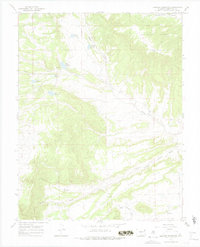
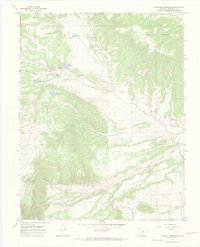
1967 Map of Creager Reservoir
USGS Topo · Published 1978About this map
San Isabel National Forest dominates this high-altitude landscape in Huerfano County, defined by a complex system of water management and diverse terrain. The 1967 field survey illustrates the critical role of upland water storage, featuring a cluster of reservoirs including Creager Reservoir, Wolf Reservoir, Roach Reservoir, and JM Reservoir. These water bodies are positioned at the headwaters of seasonal drainages that feed into Muddy Creek, reflecting the essential ranching and irrigation infrastructure of the southern Colorado mountains. To the south, the terrain levels into the distinctive Racetrack Flats, a feature bordered by Poison Pantleon Canyon Creek. Near the southern edge of the sheet, the small settlement of Malachite serves as the primary human landmark, while the presence of the Montez Ditch further highlights the local reliance on engineered waterways in this arid upland environment.
Find a feature on this map
24 named features on this map. Tap any name to fly to it.
Don’t see what you’re looking for? This feature index may not catch every label — zoom into the map to look around manually.
Map Details
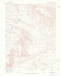
Editions of this 1967 Creager Reservoir Map
3 editions found
Other maps of this area

1889 · Huerfano Park
USGS Topo · 1:125,000

1892 · Huerfano Park
USGS Topo · 1:125,000

1954 · Trinidad
USGS Topo · 1:250,000

1955 · Trinidad
USGS Topo · 1:250,000

1958 · Trinidad
USGS Topo · 1:250,000

1959 · Trinidad
USGS Topo · 1:250,000
1960 · Beck Mountain
USGS Topo · 1:24,000
1960 · Devils Gulch
USGS Topo · 1:24,000

1967 · Mosca Pass
USGS Topo · 1:24,000
1967 · Creager Reservoir
USGS Topo · 1:24,000