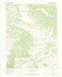
1967 Map of Creager Reservoir
USGS Topo · Published 1971About this map
San Isabel National Forest dominates this Huerfano County landscape, where complex water management defines the high-altitude terrain. The map reveals an extensive system of irrigation and storage, centered around Creager Reservoir and several smaller catchments like Murray Reservoir, McKinley Reservoir, and Wolf Reservoir. These engineering efforts supported the local ranching and agricultural economy, directing water through features such as the Montez Ditch to serve the lower elevations. Near the southern edge of the survey lies Malachite, a small community situated at the confluence of the canyons. The geography is characterized by dramatic shifts in elevation, from the heights of Black Mountain down to the wide expanse of Racetrack Flats. Canyons including Poison Canyon Creek and Pantleon Creek cut through the foothills, illustrating the difficult drainage patterns of the region during the late 1960s.
Find a feature on this map
20 named features on this map. Tap any name to fly to it.
Don’t see what you’re looking for? This feature index may not catch every label — zoom into the map to look around manually.
Map Details
Editions of this 1967 Creager Reservoir Map
3 editions found
Other maps of this area

1889 · Huerfano Park
USGS Topo · 1:125,000

1892 · Huerfano Park
USGS Topo · 1:125,000

1954 · Trinidad
USGS Topo · 1:250,000

1955 · Trinidad
USGS Topo · 1:250,000

1958 · Trinidad
USGS Topo · 1:250,000

1959 · Trinidad
USGS Topo · 1:250,000
1960 · Beck Mountain
USGS Topo · 1:24,000
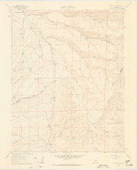
1960 · Devils Gulch
USGS Topo · 1:24,000

1967 · Mosca Pass
USGS Topo · 1:24,000
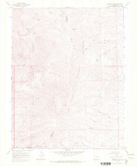
1967 · Medano Pass
USGS Topo · 1:24,000