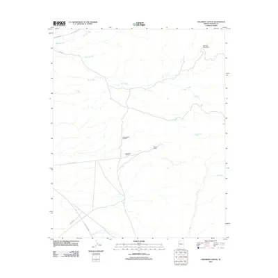
2011 Map of Creamery Canyon
USGS Topo · Published 2011About this map
The Hualapai Mountains dominate the northeastern corner of this arid landscape, where the high terrain transitions into the complex drainage networks of central Mohave County. This 2011 survey documents a remote ranching and mining region defined by ephemeral water sources and rugged road networks. Significant desert hydrology is represented by named features such as Blue Mary Spring, Cottonwood Spring, and the Haystack Tank, which provided essential water in a territory otherwise carved by seasonal flows like Bar I-L Wash and Mackenzie Wash. The geography is bisected by deeply incised features including Creamery Canyon and Cottonwood Canyon, which converge near Round Valley. Access to this back-country is provided by historical routes like Boriana Mine Rd, Calamity Jane Rd, and Alamo Crossing Rd, reflecting the area's long association with prospecting and cattle operations.
Find a feature on this map
16 named features on this map. Tap any name to fly to it.
Don’t see what you’re looking for? This feature index may not catch every label — zoom into the map to look around manually.
Map Details
Editions of this 2011 Creamery Canyon Map
This is the sole edition of this map. No revisions or reprints were ever made.
Other maps of this area

1923 · Signal
USGS Topo · 1:250,000

1927 · Yucca
USGS Topo · 1:62,500

1927 · Buck Mountains
USGS Topo · 1:62,500

1929 · Buck Mountains
USGS Topo · 1:62,500

1929 · Yucca
USGS Topo · 1:62,500

1942 · Signal
USGS Topo · 1:250,000

1950 · Prescott
USGS Topo · 1:250,000

1954 · Needles
USGS Topo · 1:250,000

1954 · Prescott
USGS Topo · 1:250,000

1956 · Needles
USGS Topo · 1:250,000