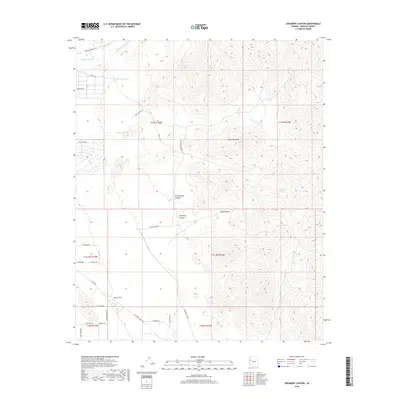
2018 Map of Creamery Canyon
USGS Topo · Published 2018About this map
Creamery Canyon and the eastern edge of the Mojave Desert characterize this arid landscape in Mohave County. The terrain is defined by a series of drainage systems, including Mackenzie Wash, Happy Jack Wash, and the lengthy Bar L-L Wash, which cut through the high desert floor toward Dutch Flat. Settlement patterns are sparse, represented by a network of rural roads with evocative names like Calamity Jane Rd, Jesse James Rd, and Bat Masterson Rd, suggesting a landscape tied to ranching and local history rather than dense urbanization. Water management is critical in this environment, evidenced by isolated features such as Cottonwood Spring and Haystack Tank. The survey also documents topographic landmarks like Round Valley and the winding course of Cow Cr at the southern boundary.
Find a feature on this map
35 named features on this map. Tap any name to fly to it.
Don’t see what you’re looking for? This feature index may not catch every label — zoom into the map to look around manually.
Map Details
Editions of this 2018 Creamery Canyon Map
This is the sole edition of this map. No revisions or reprints were ever made.
Other maps of this area

1923 · Signal
USGS Topo · 1:250,000

1927 · Yucca
USGS Topo · 1:62,500

1927 · Buck Mountains
USGS Topo · 1:62,500

1929 · Buck Mountains
USGS Topo · 1:62,500

1929 · Yucca
USGS Topo · 1:62,500

1942 · Signal
USGS Topo · 1:250,000

1950 · Prescott
USGS Topo · 1:250,000

1954 · Needles
USGS Topo · 1:250,000

1954 · Prescott
USGS Topo · 1:250,000

1956 · Needles
USGS Topo · 1:250,000